Kaieteur International Airport
Kaieteur Airport | |||||||||||
|---|---|---|---|---|---|---|---|---|---|---|---|
.jpg) | |||||||||||
| Summary | |||||||||||
| Airport type | Public | ||||||||||
| Operator | Guyana Civil Aviation Authority | ||||||||||
| Serves | Kaieteur National Park, Guyana | ||||||||||
| Elevation AMSL | 1,520 ft / 463 m | ||||||||||
| Coordinates | 5°10′40″N 59°29′15″W / 5.17778°N 59.48750°W | ||||||||||
| Map | |||||||||||
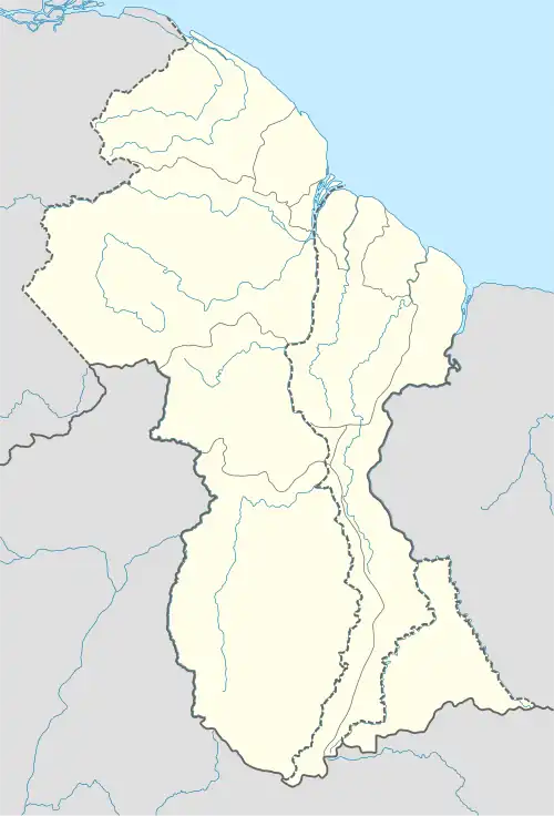 KAI Location of the airport in Guyana | |||||||||||
| Runways | |||||||||||
| |||||||||||
Kaieteur Airport (IATA: KAI, ICAO: SYKA) is an airport serving Kaieteur National Park in the Potaro-Siparuni region of Guyana.
The airport is less than 1 kilometre (0.62 mi) west of Kaieteur Falls, among the largest single-drop waterfalls in the world.[3]
Airlines and destinations
| Airlines | Destinations |
|---|---|
| Roraima Airways | Georgetown–Cheddi Jagan, Georgetown–Ogle |
| Trans Guyana Airways | Georgetown–Ogle |
See also
References
- ^ Airport information for Kaieteur Airport at Great Circle Mapper.
- ^ Bing Maps - Kaieteur
- ^ "Kaieteur Falls - World Waterfall Database".
External links
- OpenStreetMap - Kaieteur
- SkyVector - Kaieteur
- Accident history for Kaieteur Airport at Aviation Safety Network