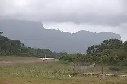
Mahdia Airport
Mahdia Airport | |||||||||||
|---|---|---|---|---|---|---|---|---|---|---|---|
 | |||||||||||
| Summary | |||||||||||
| Serves | Mahdia | ||||||||||
| Elevation AMSL | 300 ft / 91 m | ||||||||||
| Coordinates | 5°16′10″N 59°08′50″W / 5.26944°N 59.14722°W | ||||||||||
| Map | |||||||||||
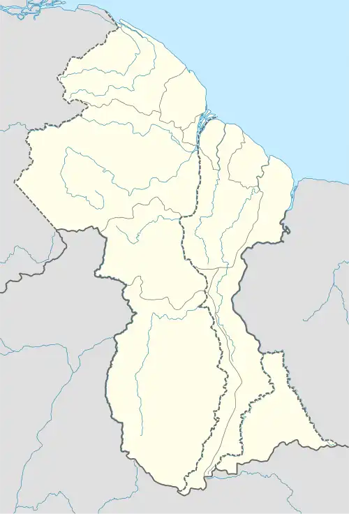 MHA Location in Guyana | |||||||||||
| Runways | |||||||||||
| |||||||||||
Mahdia Airport (IATA: MHA, ICAO: SYMD) is an airport serving the village of Mahdia, in the Potaro-Siparuni Region of Guyana. The airport's only runway is a 1,067-meter grass strip.
See also
References
- ^ Google Maps - Mahdia
- ^ Airport information for MHA at Great Circle Mapper.
- ^ SkyVector Aeronautical Charts
External links
Wikimedia Commons has media related to Mahdia Airport.