Kalverdijk
Kalverdijk | |
|---|---|
Hamlet | |
 Farm in Kalverdijk | |
 Kalverdijk Location in the Netherlands 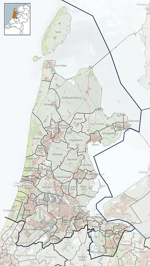 Kalverdijk Location in the province of North Holland in the Netherlands | |
| Coordinates: 52°44′N 4°46′E / 52.733°N 4.767°E | |
| Country | Netherlands |
| Province | North Holland |
| Municipality | Schagen |
| Area | |
• Total | 0.63 km2 (0.24 sq mi) |
| Elevation | −0.8 m (−2.6 ft) |
| Population (2021)[1] | |
• Total | 300 |
| • Density | 480/km2 (1,200/sq mi) |
| Time zone | UTC+1 (CET) |
| • Summer (DST) | UTC+2 (CEST) |
| Postal code | 1747[1] |
| Dialing code | 0226 |
Kalverdijk (West Frisian: Kalveredìk) is a hamlet in the Dutch province of North Holland. It is a part of the municipality of Schagen, and lies about 8 km north of Heerhugowaard.
The hamlet was first mentioned in 1575 as Caluerdyck, and is a combination of dike and calf.[3] Kalverdijk has place name signs. It is considered part of Tuitjenhorn, and consists of about 105 houses and 70 holiday homes.[4]
References
- ^ a b c "Kerncijfers wijken en buurten 2021". Central Bureau of Statistics. Retrieved 1 May 2022.
- ^ "Postcodetool for 1747CA". Actueel Hoogtebestand Nederland (in Dutch). Het Waterschapshuis. Archived from the original on 25 December 2018. Retrieved 1 May 2022.
- ^ "Kalverdijk - (geografische naam)". Etymologiebank (in Dutch). Retrieved 1 May 2022.
- ^ "Kalverdijk". Plaatsengids (in Dutch). Archived from the original on 1 May 2022. Retrieved 1 May 2022.
Wikimedia Commons has media related to Kalverdijk, North Holland.