Warmenhuizen
Warmenhuizen | |
|---|---|
Village | |
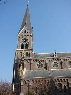 Catholic church in Warmenhuizen | |
 Warmenhuizen Location in the Netherlands 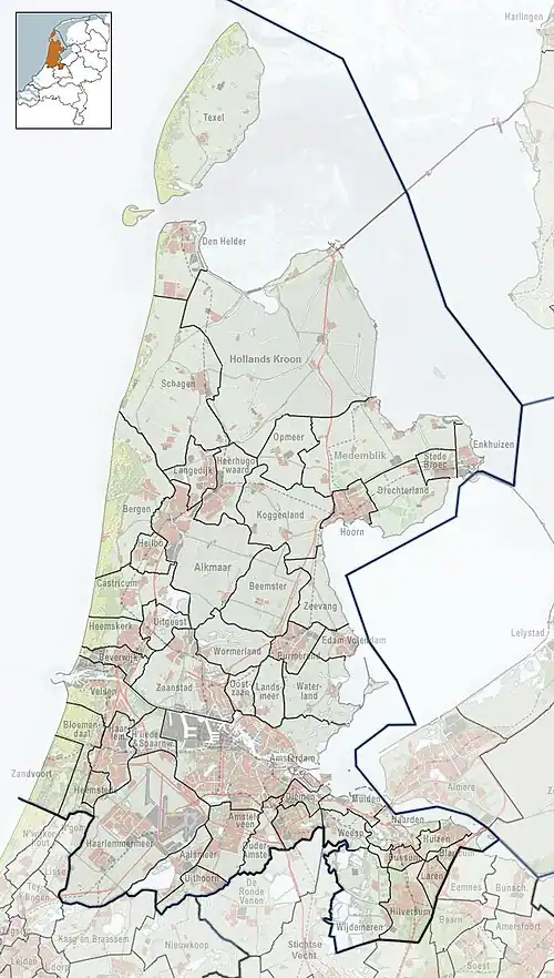 Warmenhuizen Location in the province of North Holland in the Netherlands | |
| Coordinates: 52°43′21″N 4°44′23″E / 52.72250°N 4.73972°E | |
| Country | Netherlands |
| Province | North Holland |
| Municipality | Schagen |
| Area | |
• Total | 14.94 km2 (5.77 sq mi) |
| Elevation | 0.0 m (0.0 ft) |
| Population (2021)[1] | |
• Total | 2,545 |
| • Density | 170/km2 (440/sq mi) |
| Time zone | UTC+1 (CET) |
| • Summer (DST) | UTC+2 (CEST) |
| Postal code | 1749[1] |
| Dialing code | 0226 |
Warmenhuizen (West Frisian: Wermehúze) is a town in the Dutch province of North Holland. It is a part of the municipality of Schagen, and lies about 8 km northwest of Heerhugowaard. An agricultural community. The area surrounding the town produces mainly dairy products, cabbage/potatoes, and hot house flowers. Mainly a Roman Catholic community featuring two churches, an old Protestant one, fallen into disuse, built in 16th century and a more modern Roman Catholic church constructed in the early 20th century.
Warmenhuizen was a separate municipality until 1990, when it was merged with Harenkarspel.[3] Harenkarspel merged with Schagen in 2013.
Notable people born in Warmenhuizen
- Antje Paarlberg (1808-1885)
- Joop Klant (1915-1994)
- Jos Pronk (1983)
- Steven Rooks, cyclist
Gallery
-
 Windmill Grebmolen
 -
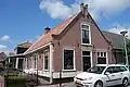 House in Warmenhuizen
 -
 Street view
 -
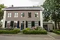 House in Warmenhuizen
References
- ^ a b c "Kerncijfers wijken en buurten 2021". Central Bureau of Statistics. Retrieved 1 May 2022.
three entries
- ^ "Postcodetool for 1749AA". Actueel Hoogtebestand Nederland (in Dutch). Het Waterschapshuis. Archived from the original on 21 September 2013. Retrieved 1 May 2022.
- ^ Ad van der Meer and Onno Boonstra, Repertorium van Nederlandse gemeenten, KNAW, 2011.