Kefermarkt
Kefermarkt | |
|---|---|
 | |
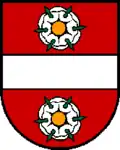 Coat of arms | |
 Kefermarkt Location within Austria | |
| Coordinates: 48°26′34″N 14°32′15″E / 48.44278°N 14.53750°E | |
| Country | Austria |
| State | Upper Austria |
| District | Freistadt |
| Government | |
| • Mayor | Herbert Brandstötter (ÖVP) |
| Area | |
• Total | 27.83 km2 (10.75 sq mi) |
| Elevation | 516 m (1,693 ft) |
| Population (2018-01-01)[2] | |
• Total | 2,116 |
| • Density | 76/km2 (200/sq mi) |
| Time zone | UTC+1 (CET) |
| • Summer (DST) | UTC+2 (CEST) |
| Postal code | 4292 |
| Area code | 07947 |
| Vehicle registration | FR |
| Website | www.kefermarkt.ooe.gv.at |
Kefermarkt is a municipality in the district of Freistadt in the Austrian state of Upper Austria. The church in Kefermarkt houses the late medieval Kefermarkt Altarpiece.
Population
| Year | Pop. | ±% |
|---|---|---|
| 1869 | 1,441 | — |
| 1880 | 1,527 | +6.0% |
| 1890 | 1,481 | −3.0% |
| 1900 | 1,506 | +1.7% |
| 1910 | 1,604 | +6.5% |
| 1923 | 1,659 | +3.4% |
| 1934 | 1,642 | −1.0% |
| 1939 | 1,614 | −1.7% |
| 1951 | 1,697 | +5.1% |
| 1961 | 1,721 | +1.4% |
| 1971 | 1,798 | +4.5% |
| 1981 | 1,738 | −3.3% |
| 1991 | 1,950 | +12.2% |
| 2001 | 2,056 | +5.4% |
Gallery
-
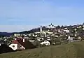 View on castle
 -
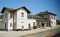 Railway station
 -
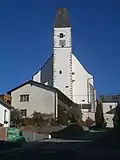
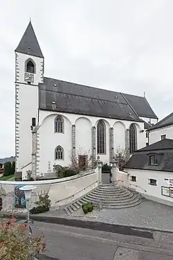 Pfarrkirche Kefermarkt
 -
 Pfarrkirche Kefermarkt
 -
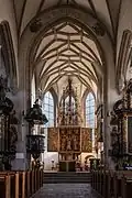 Inside of Pfarrkirche Kefermarkt
 -
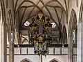 Organ
Organ -
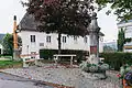
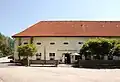
 Guesthouse Gasthaus Zur Goldenen Sense Aussen
 -
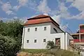 Kefermarkt evPfarrhof
 -
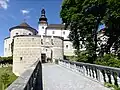 Bridge to Schloss Weinberg
 -
 Castle Schloss Weinberg
 -
 Pillory - Schandpfahl, was built in 1479, dismantled in 1738 and it was restored in 1980
 -
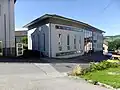
.jpg) Fire service
Fire service -
 City hall
 -
 The castle brewery
 -
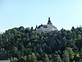
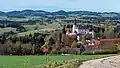 View over castle Weinberg to the west
References
Wikimedia Commons has media related to Kefermarkt.
- ^ "Dauersiedlungsraum der Gemeinden Politischen Bezirke und Bundesländer - Gebietsstand 1.1.2018". Statistics Austria. Retrieved 10 March 2019.
- ^ "Einwohnerzahl 1.1.2018 nach Gemeinden mit Status, Gebietsstand 1.1.2018". Statistics Austria. Retrieved 9 March 2019.