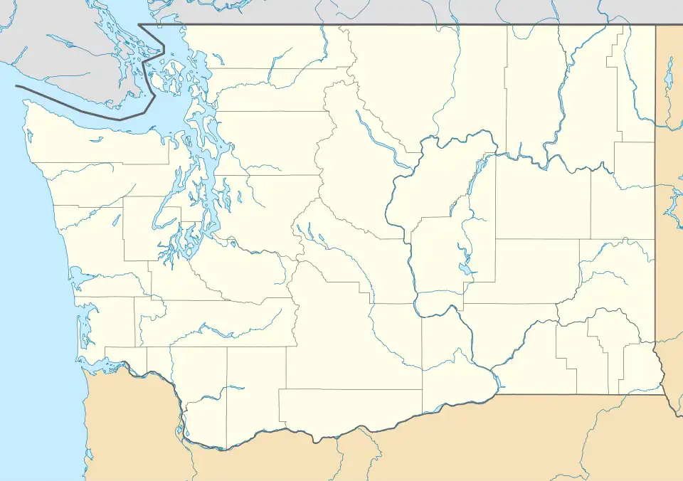
Keystone, Island County, Washington
Keystone, Washington | |
|---|---|
 Keystone  Keystone | |
| Coordinates: 48°09′50″N 122°37′50″W / 48.16389°N 122.63056°W | |
| Country | United States |
| State | Washington |
| County | Island |
| Elevation | 3 ft (0.9 m) |
| Time zone | UTC-8 (Pacific (PST)) |
| • Summer (DST) | UTC-7 (PDT) |
| Area code | 360 |
| GNIS feature ID | 1511914[1] |
Keystone is a small unincorporated community on Whidbey Island in Island County, Washington, in the northwestern United States. It is near the Keystone ferry landing, a dock at Keystone Harbor for the Washington State Ferries' Coupeville to Port Townsend route. The route provides a maritime link for State Route 20 across Admiralty Inlet to the Olympic Peninsula. Since its establishment in the 1930s, the ferry route to Port Townsend was known as the Keystone-Port Townsend Ferry; the name was changed in 2010 at the suggestion of the Central Whidbey Chamber of Commerce in order to avoid confusion from tourists and visitors to Whidbey Island.[2]
Keystone is located about four miles south of Coupeville, next to Fort Casey State Park, Camp Casey, and is two miles from Ebey's Prairie National Historic Preserve. There is a residential area and farms in Keystone, including the historic Crockett Barn located next to the Crockett Blockhouse and Crockett Lake. Currently, the only business in Keystone is Callen's Restaurant,[3] located directly across Highway 20 from the ferry landing and boat launch parking area.
References
Municipalities and communities of Island County, Washington, United States | ||
|---|---|---|
| Cities |  | |
| Town | ||
| CDPs | ||
| Other communities | ||