La Codoñera
La Codoñera/La Codonyera | |
|---|---|
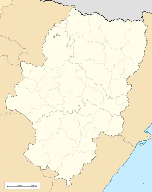 La Codoñera/La Codonyera Location of La Codoñera/La Codonyera within Aragon 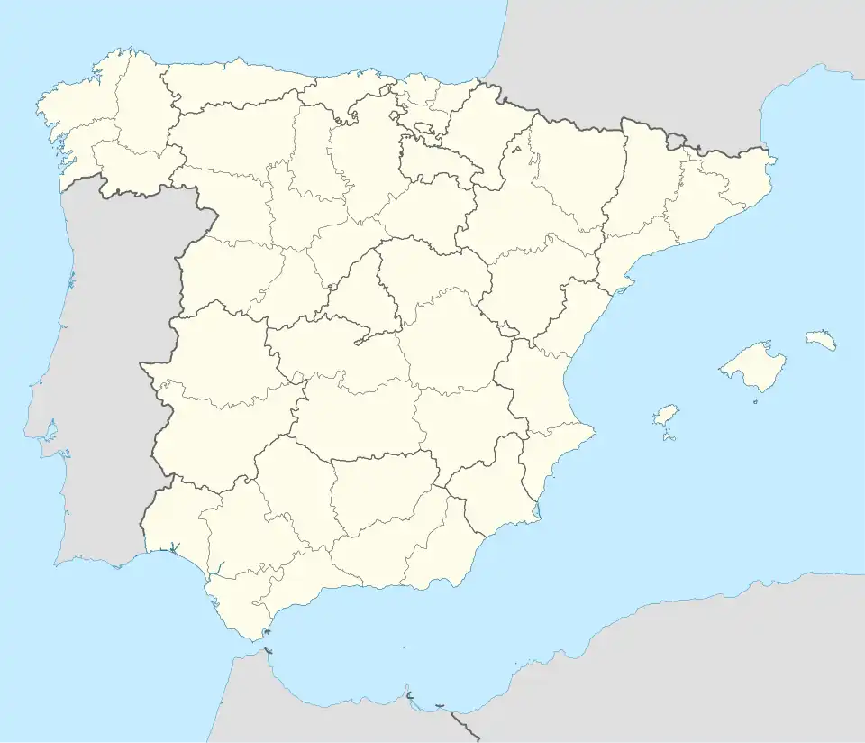 La Codoñera/La Codonyera Location of La Codoñera/La Codonyera within Spain | |
| Coordinates: 40°56′N 0°5′W / 40.933°N 0.083°W | |
| Country | Spain |
| Autonomous community | Aragon |
| Province | Teruel |
| Municipality | La Codoñera/La Codonyera |
| Area | |
• Total | 20.97 km2 (8.10 sq mi) |
| Elevation | 499 m (1,637 ft) |
| Population (2018)[1] | |
• Total | 344 |
| • Density | 16/km2 (42/sq mi) |
| Time zone | UTC+1 (CET) |
| • Summer (DST) | UTC+2 (CEST) |
La Codoñera (Spanish pronunciation: [la koðoˈɲeɾa]) or La Codonyera (Catalan: [la koðoˈɲeɾa]) is a municipality located in the province of Teruel, Aragon, Spain. According to the 2004 census (INE), the municipality has a population of 340 inhabitants.
See also
References
- ^ Municipal Register of Spain 2018. National Statistics Institute.