Lengefeld
Lengefeld | |
|---|---|
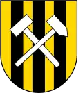 Coat of arms | |
Location of Lengefeld | |
 Lengefeld 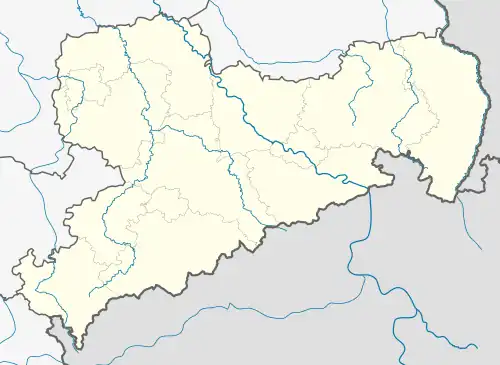 Lengefeld | |
| Coordinates: 50°43′N 13°11′E / 50.717°N 13.183°E | |
| Country | Germany |
| State | Saxony |
| District | Erzgebirgskreis |
| Town | Pockau-Lengefeld |
| Area | |
• Total | 47.52 km2 (18.35 sq mi) |
| Elevation | 440 m (1,440 ft) |
| Population (2012-12-31) | |
• Total | 4,290 |
| • Density | 90/km2 (230/sq mi) |
| Time zone | UTC+01:00 (CET) |
| • Summer (DST) | UTC+02:00 (CEST) |
| Postal codes | 09514 |
| Dialling codes | 037367 |
| Vehicle registration | ERZ |
| Website | lengefeld.de |
Lengefeld (German pronunciation: [ˈlɛŋəˌfɛlt] ⓘ) is a town and a former municipality in the district Erzgebirgskreis, in the Free State of Saxony, Germany. It is situated in the Ore Mountains, 23 km southeast of Chemnitz. On 1 January 2014 it was merged with the municipality Pockau to form the town Pockau-Lengefeld.
Sights
- Lengefeld Lime Works Museum
References