Lesobeng Airport
Lesobeng Airport | |||||||||||
|---|---|---|---|---|---|---|---|---|---|---|---|
| Summary | |||||||||||
| Airport type | Public | ||||||||||
| Owner | Lesobeng community council | ||||||||||
| Serves | Lesobeng, Lesotho | ||||||||||
| Elevation AMSL | 7,133 ft / 2,174 m | ||||||||||
| Coordinates | 29°45′20″S 28°21′25″E / 29.75556°S 28.35694°E | ||||||||||
| Map | |||||||||||
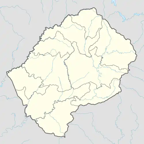 LES Location of the airport in Lesotho | |||||||||||
| Runways | |||||||||||
| |||||||||||
Lesobeng Airport (IATA: LES, ICAO: FXLS) is an airstrip serving the community of Lesobeng, in the Thaba-Tseka District of Lesotho.
The runway sits atop a ridge with steep drops at either end.
See also
References
- ^ Google Maps - Lesobeng
- ^ Airport information for Lesobeng Airport at Great Circle Mapper.
External links