Thaba-Tseka Airport
Thaba-Tseka Airport | |||||||||||||||
|---|---|---|---|---|---|---|---|---|---|---|---|---|---|---|---|
| Summary | |||||||||||||||
| Airport type | Public | ||||||||||||||
| Serves | Thaba-Tseka | ||||||||||||||
| Elevation AMSL | 7,500 ft / 2,286 m | ||||||||||||||
| Coordinates | 29°31′22″S 28°37′00″E / 29.52278°S 28.61667°E | ||||||||||||||
| Map | |||||||||||||||
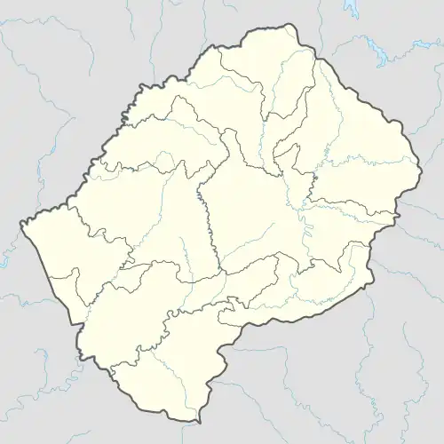 THB Location of the airport in Lesotho | |||||||||||||||
| Runways | |||||||||||||||
| |||||||||||||||
Thaba-Tseka Airport (IATA: THB, ICAO: FXTA) is an airport serving the town of Thaba-Tseka, the camptown of Thaba-Tseka District, Lesotho.
See also
References
- ^ Airport information for THB at Great Circle Mapper.
- ^ Google Maps - Thaba-Tseka
External links