Little Boulder River
| Little Boulder River | |
|---|---|
Route of the Little Boulder River | |
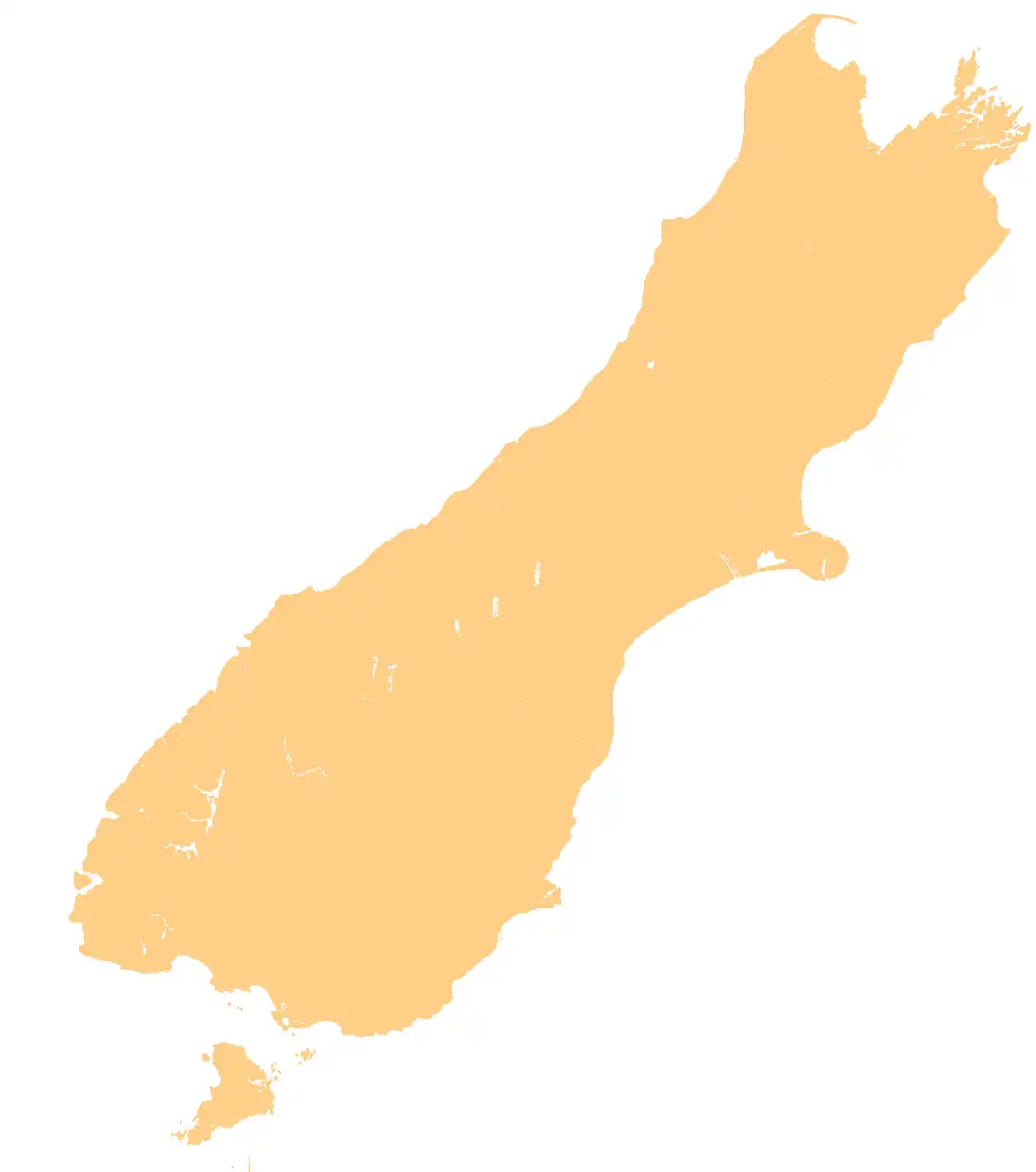
.png) Mouth of the Little Boulder River  Little Boulder River (South Island) | |
| Location | |
| Country | New Zealand |
| Physical characteristics | |
| Source | |
| • location | Lookout Knob |
| • coordinates | 40°49′09″S 172°35′36″E / 40.8191°S 172.5932°E |
| • elevation | 535 metres (1,755 ft) |
| Mouth | |
• location | Aorere River |
• coordinates | 40°46′00″S 172°35′50″E / 40.7666°S 172.5971°E |
| Basin features | |
| Progression | Little Boulder River → Aorere River → Ruataniwha Inlet → Golden Bay / Mohua → Tasman Sea |
| Tributaries | |
| • left | Bert Creek, Graham Creek |
The Little Boulder River is a river in the Tasman Region of New Zealand's South Island.
The Boulder Lake Track follows The Castles ridge,[1] while the Little Boulder River originates near Lookout Knob, north of the ridge.[2][3] It flows from its sources within Kahurangi National Park to the Aorere River, located southwest of Collingwood.
See also
References
- ^ "Place name detail: The Castles". New Zealand Gazetteer. Land Information New Zealand. Retrieved 27 May 2025.
- ^ "Place name detail: Little Boulder River". New Zealand Gazetteer. Land Information New Zealand. Retrieved 27 May 2025.
- ^ "Place name detail: Lookout Knob". New Zealand Gazetteer. Land Information New Zealand. Retrieved 27 May 2025.