Menomblet
Menomblet | |
|---|---|
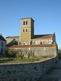 The church of Our Lady of the Assumption, in Menomblet | |
Location of Menomblet | |
 Menomblet  Menomblet | |
| Coordinates: 46°43′57″N 0°42′38″W / 46.7325°N 0.7106°W | |
| Country | France |
| Region | Pays de la Loire |
| Department | Vendée |
| Arrondissement | Fontenay-le-Comte |
| Canton | La Châtaigneraie |
| Intercommunality | Pays de la Châtaigneraie |
| Government | |
| • Mayor (2020–2026) | Jean-Pierre Marquis[1] |
Area 1 | 20.95 km2 (8.09 sq mi) |
| Population (2022)[2] | 681 |
| • Density | 33/km2 (84/sq mi) |
| Time zone | UTC+01:00 (CET) |
| • Summer (DST) | UTC+02:00 (CEST) |
| INSEE/Postal code | 85141 /85700 |
| Elevation | 127–215 m (417–705 ft) |
| 1 French Land Register data, which excludes lakes, ponds, glaciers > 1 km2 (0.386 sq mi or 247 acres) and river estuaries. | |
Menomblet (French pronunciation: [mənɔ̃blɛ]) is a commune in the Vendée department in the Pays de la Loire, a western region of France.
Geography
The river Lay forms most of the commune's southern border.
See also
References
- ^ "Répertoire national des élus: les maires" (in French). data.gouv.fr, Plateforme ouverte des données publiques françaises. 13 September 2022.
- ^ "Populations de référence 2022" (in French). The National Institute of Statistics and Economic Studies. 19 December 2024.
Wikimedia Commons has media related to Menomblet.