Meranges
Meranges | |
|---|---|
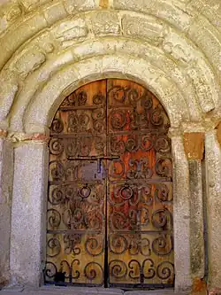 Portal of the church of Sant Serni. | |
 Flag  Coat of arms | |
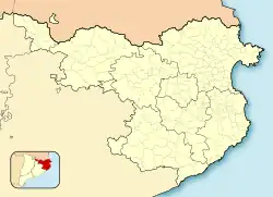 Meranges Location in Catalonia 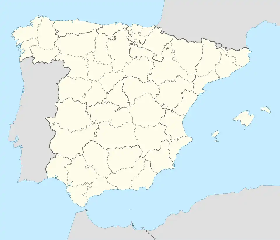 Meranges Meranges (Spain) | |
| Coordinates: 42°26′44″N 1°47′15″E / 42.44556°N 1.78750°E | |
| Country | |
| Autonomous community | |
| Province | Girona |
| Comarca | Cerdanya |
| Government | |
| • Mayor | Esteve Avellanet i Tarrés[1] |
| Area | |
• Total | 37.3 km2 (14.4 sq mi) |
| Elevation | 1,539 m (5,049 ft) |
| Population (2018)[3] | |
• Total | 98 |
| • Density | 2.6/km2 (6.8/sq mi) |
| Postal code | 17539 |
| Website | www |
Meranges (Catalan pronunciation: [məˈɾaɲʒəs]) is a village in the comarca of Cerdanya, province of Girona, Catalonia, north-eastern Spain. It has a population of 112 (register office, 2024) ![]() .
.
Attractions include the Romanesque church of Sant Serni. It has a portal with sculpted archivolts.
The territory of the municipality rises to the Engorgs lakes and to Puig Pedrós (2 915 metres), one of the highest mountains in the eastern Pyrenees.
-
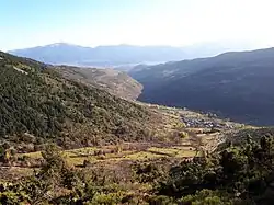 The village of Meranges, Vall Tova, Cerdagne.
 -
 The Engorgs lakes and, beyond, Puig Pedrós.
References
- ^ "Ajuntament de Meranges". Generalitat of Catalonia. Retrieved 2015-11-19.
- ^ "El municipi en xifres: Meranges". Statistical Institute of Catalonia. Retrieved 2015-11-23.
- ^ Municipal Register of Spain 2018. National Statistics Institute.
- Panareda Clopés, Josep Maria; Rios Calvet, Jaume; Rabella Vives, Josep Maria (1989). Guia de Catalunya, Barcelona: Caixa de Catalunya. ISBN 84-87135-01-3 (Spanish). ISBN 84-87135-02-1 (Catalan).
External links
- Government data pages (in Catalan)
Places adjacent to Meranges | ||||||||||||||||
|---|---|---|---|---|---|---|---|---|---|---|---|---|---|---|---|---|
| ||||||||||||||||