Midai
Native name: Pulau Midai | |
|---|---|
 Midai 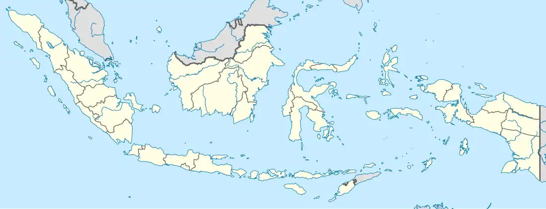 Midai | |
| Geography | |
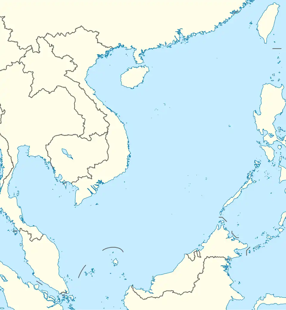
| Location | South China Sea |
| Coordinates | 2°59′31″N 107°46′05″E / 2.992°N 107.768°E |
| Archipelago | Natuna Islands |
| Area | 13.77 km2 (5.32 sq mi) |
| Administration | |
| Province | Riau Islands |
| Regency | Natuna Islands |
| Archipelago | South Natuna |
| Demographics | |
| Population | 3,718 (2022) |
| Ethnic groups | Malays |
| Additional information | |
| Time zone | |
Midai is a district in the Natuna Regency, Riau Islands, Indonesia.[1] It is located on the eastern half of Midai island and shares the island with the district of Suak Midai.
Villages
All 3 villages in Midai rely on wells for their water. There is only one medical facility in Sabang that is an inpatient health center and a pharmacy. All but 5 families use electricity in the district, and they are in Sebelat. There are 4 mosques in the district, with 1 in each village and 2 in Sabang. There are also 13 musallas, 2 in Air Putih, 3 in Sebelat, and 8 in Sabang as well as a monastery in Sabang. The district is almost exclusively Muslim, with around 1% of people in Sabang being Buddhist and 0.7% of people being Christian. There are 4 lodges in the village of Sabang. The district has one post office in Sabang and the districts postal code is 29784.[2]
| Village | Area (km2) | % of subdistrict area | Topography |
|---|---|---|---|
| Sebelat | 4.73 | 34.33 | Slopes |
| Air Putih | 3.96 | 28.76 | Plains |
| Sabang Barat | 5.08 | 36.90 | Plains |
| Village | Males | Females | Total | % of total population |
|---|---|---|---|---|
| Sebelat | 286 | 277 | 563 | 15.49 |
| Air Putih | 252 | 227 | 479 | 13.18 |
| Sabang Barat | 1,305 | 1,288 | 2,593 | 71.33 |
| Total | 1,843 | 1,792 | 3,635 | 100.00 |
| Village | Population density (km2) | Sex ratio | # of households |
|---|---|---|---|
| Sebelat | 119.09 | 103.25 | 207 |
| Air Putih | 120.95 | 111.01 | 148 |
| Sabang Barat | 510.35 | 101.32 | 875 |
| Total | 264.01 | 102.85 | 1,230 |
Education
| Type of school | Public | Private | Public | Private | Public | Private |
|---|---|---|---|---|---|---|
| Kindergarten | 1 | 0 | 42 | 0 | 7 | 0 |
| Elementary School | 4 | 0 | 344 | 0 | 48 | 0 |
| Madrasah Ibtidaiyah | 0 | 1 | 0 | 66 | 0 | 11 |
| Junior High School | 1 | 0 | 159 | 0 | 16 | 0 |
| Madrasah Tsanawiyah | 1 | 0 | 120 | 0 | 22 | 0 |
| Senior High School | 1 | 0 | 214 | 0 | 27 | 0 |
| Madrasah Aliyah | 0 | 1 | 0 | 55 | 0 | 17 |
| Total | 8 | 2 | 879 | 121 | 120 | 128 |
References
- ^ "GeoNames.org". www.geonames.org. Retrieved 2023-03-09.
- ^ "BPS Kabupaten Natuna". natunakab.bps.go.id. Retrieved 2023-03-10.