Midai Island
Native name: Pulau Midai | |
|---|---|
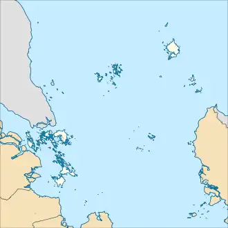 Midai Island Location of Midai Island in Riau Islands Province | |
| Geography | |
| Location | South China Sea |
| Coordinates | 2°59′53″N 107°46′51″E / 2.998056°N 107.780831°E |
| Archipelago | South Natuna |
| Area | 26.19 km2 (10.11 sq mi) |
| Highest elevation | 126 m (413 ft) |
| Administration | |
| Province | Riau Islands |
| Regency | Natuna Islands |
| Largest settlement | Sabang Barat |
| Demographics | |
| Population | 5,289 (mid 2023 estimate) |
| Pop. density | 202/km2 (523/sq mi) |
| Ethnic groups | Malays |
| Additional information | |
| Time zone | |
Midai Island is an island in the Natuna Regency, Riau Islands, Indonesia.[1] The island area of 26.19 km2 is split between the Midai District and the Suak Midai District, with a combined population of 5,289 in mid 2023. The island is only accessible by boat and has a port on the west side of the island, near Sabang Barat.[2]
References
- ^ "GeoNames.org". www.geonames.org. Retrieved 2023-03-10.
- ^ "Feature (ID: 1570068)". Geonet Names.
Main islands of Riau Islands | ||
|---|---|---|
| Riau Archipelago |
| |
| Natuna Islands |
| |
| Anambas Islands | ||
| Lingga Islands | ||