Midou
| Midou | |
|---|---|
 | |
  | |
| Location | |
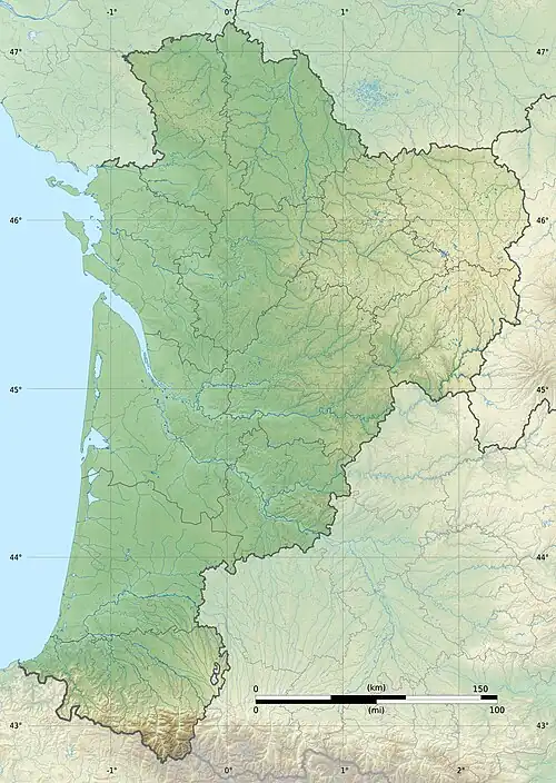
| Country | France |
| Physical characteristics | |
| Source | |
| • location | Gers |
| Mouth | |
• location | Midouze |
• coordinates | 43°53′29″N 0°30′9″W / 43.89139°N 0.50250°W |
| Length | 108 km (67 mi) |
| Basin features | |
| Progression | Midouze→ Adour→ Atlantic Ocean |
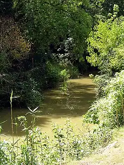
The Midou(French pronunciation: [midu]; Occitan: Midor) or Midour is the left precursor of the Midouze, in the Southwest of France.
Geography
The Midou rises in Armagnac, in the Gers département. It joins the Douze in Mont-de-Marsan to constitute the Midouze, a tributary of the Adour. It is considered the upper course of the Midouze by Sandre.[1]
Départements and towns
Main tributaries
- (R) Riberette or Midour de Devant.[2]
- (R) Midouzon,
- (L) Izaute, from Termes-d'Armagnac,
- (R) Jurane,
- (R) Estang.
- (L) Ludon, from Le Houga.
- N.B. : (R) = right tributary; (L) = left tributary
Notes
- ^ Sandre. "Fiche cours d'eau - La Midouze (Q2--0250)".
- ^ that means 'oriental'.