Monteton
Monteton | |
|---|---|
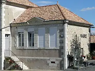 The town hall in Monteton | |
.svg.png) Coat of arms | |
Location of Monteton | |
 Monteton  Monteton | |
| Coordinates: 44°37′27″N 0°15′26″E / 44.6242°N 0.2572°E | |
| Country | France |
| Region | Nouvelle-Aquitaine |
| Department | Lot-et-Garonne |
| Arrondissement | Marmande |
| Canton | Les Coteaux de Guyenne |
| Intercommunality | CC Pays de Duras |
| Government | |
| • Mayor (2020–2026) | Geneviève Le Lannic[1] |
Area 1 | 13.81 km2 (5.33 sq mi) |
| Population (2022)[2] | 324 |
| • Density | 23/km2 (61/sq mi) |
| Time zone | UTC+01:00 (CET) |
| • Summer (DST) | UTC+02:00 (CEST) |
| INSEE/Postal code | 47187 /47120 |
| Elevation | 33–128 m (108–420 ft) (avg. 101 m or 331 ft) |
| 1 French Land Register data, which excludes lakes, ponds, glaciers > 1 km2 (0.386 sq mi or 247 acres) and river estuaries. | |
Monteton (French pronunciation: [mɔ̃tətɔ̃]) is a commune in the Lot-et-Garonne department in south-western France.
See also
References
- ^ "Répertoire national des élus: les maires" (in French). data.gouv.fr, Plateforme ouverte des données publiques françaises. 13 September 2022.
- ^ "Populations de référence 2022" (in French). The National Institute of Statistics and Economic Studies. 19 December 2024.
Wikimedia Commons has media related to Monteton.