Mount Kinpu
| Mount Kinpu | |
|---|---|
| 金峰山 | |
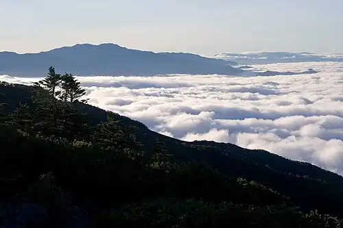
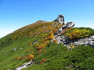 Mount Kinpu (Oct. 2007) | |
| Highest point | |
| Elevation | 2,599 m (8,527 ft)[1][2] |
| Listing | Mountains of Japan |
| Coordinates | 35°52′18″N 138°37′31″E / 35.87167°N 138.62528°E[1] |
| Geography | |
 Mount Kinpu | |
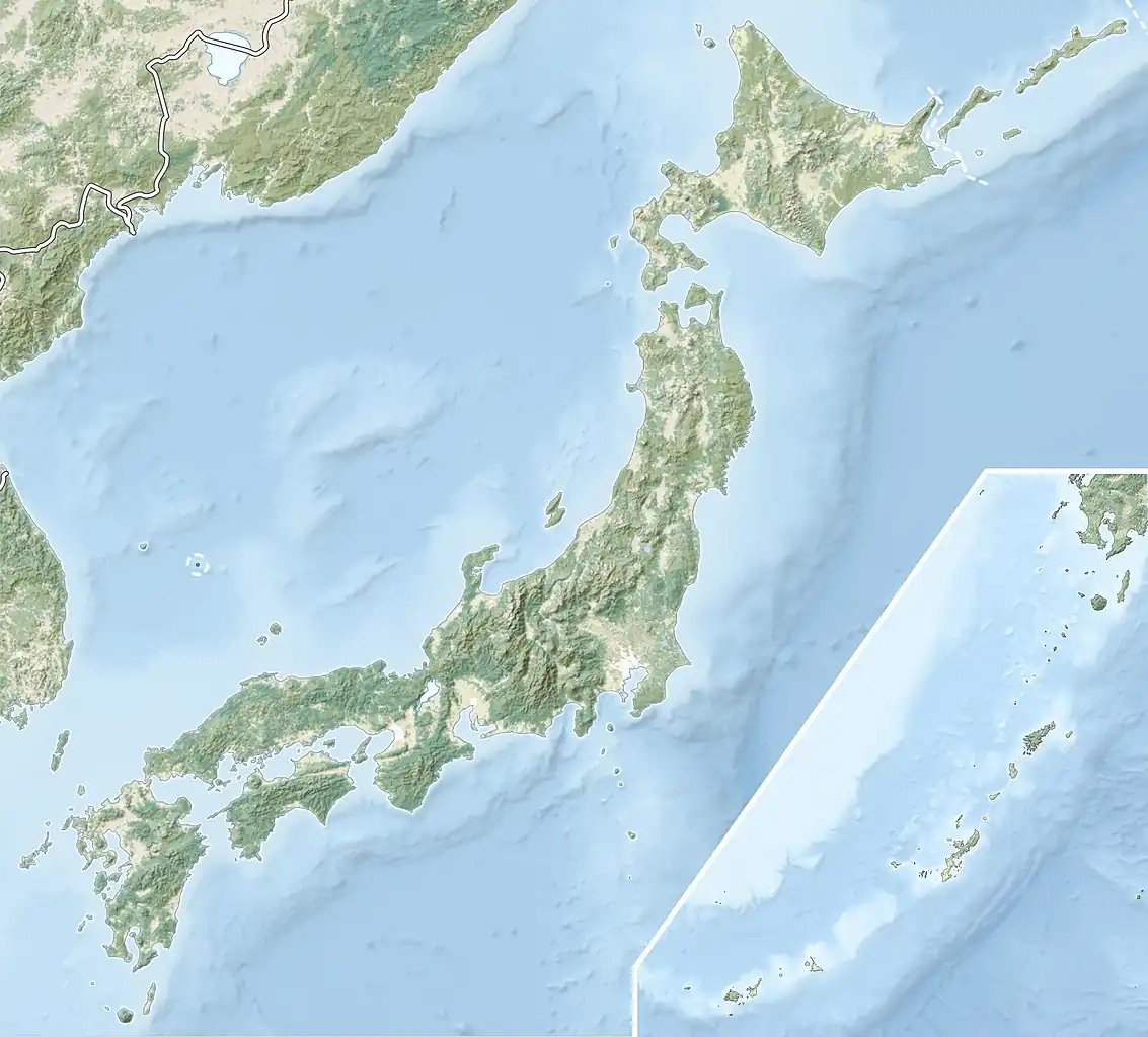
| Country | Japan |
| Prefectures | Nagano and Yamanashi |
| Districts | Minamisaku and Kōfu |
| Parent range | Okuchichibu Mountains |
| Climbing | |
| Easiest route | Hike |
Mount Kinpu (金峰山, Kinpu-san), or Mount Kinpō (金峰山, Kinpō-san) is a mountain and the main peak in the Okuchichibu Range in Kantō Mountains.[2] It is located in Chichibu Tama Kai National Park[3] on the boundary of Nagano Prefecture and Yamanashi Prefecture, Japan.[4] It has the sacred Gojoiwa rock, a Shinto holy site,[5] on its top and is one of the 100 Famous Japanese Mountains.[6] At 2599 m tall,[1] it is the second highest peak of the Okuchichibu Mountains.
Access
First take a bus bound for Masutomi Hot Spring (増富温泉). Second take a bus bound for Mizugakisansou (瑞牆山荘). Look for direct bus to the trailhead. It might be available depending on the season.[4][7]
Gallery
-
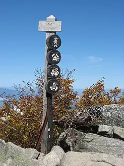 Commemorative plaque at the summit of Mount Kinpu.
 -
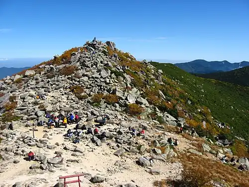 The summit of Mount Kinpu.
 -
 From Mount Amigasa.
 -
 The conifer forest in Mount Kinpu.
See also
 Media related to Mount Kinpu at Wikimedia Commons
- Mount Mizugaki
- 100 Famous Japanese Mountains
References
- ^ a b c "Peak Kinpu-san". peakhunter.com. Retrieved 2024-03-31.
- ^ a b "Mt. Kinpu 2599m". JMM Project. Retrieved 2024-03-31.
- ^ Best trails in Chichibu-Tama-Kai National Park AllTrails
- ^ a b Mt. Kinpu (金峰山) Hiking in Japan
- ^ Shrine at wit's end as climbers scale, deface sacred rock on famed Japanese peak Mainichi Newspapers
- ^ Shrine on the edge of the abyss as climbers scale and deface the sacred rock on the famous Japanese peak Extremecashrobot
- ^ Climbing Mount Kinpu Japan Travel Knowledge Center
| Hokkaidō | |||||||||
|---|---|---|---|---|---|---|---|---|---|
| Tōhoku region Jōshinetsu region | |||||||||
| Kantō region | |||||||||
| Chūbu region |
| ||||||||
| Western Japan | |||||||||
| |||||||||