Mount Tateshina
| Mount Tateshina | |
|---|---|
| 蓼科山 | |
 SSW side | |
| Highest point | |
| Elevation | 2,530 m (8,300 ft) |
| Listing | 100 Famous Japanese Mountains |
| Coordinates | 36°6′13″N 138°17′42″E / 36.10361°N 138.29500°E |
| Naming | |
| English translation | high mountain of water-peppers |
| Language of name | Japanese |
| Geography | |
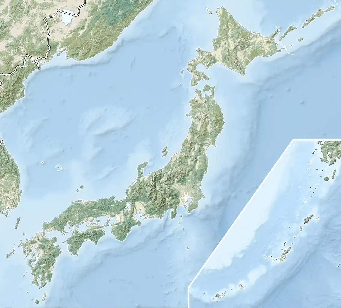 Mount Tateshina Location of Mount Tateshina in Japan. | |
| Location | Honshū, Japan |
| Parent range | Northern Yatsugatake Volcanic Group |
| Geology | |
| Mountain type | Complex volcano |
| Last eruption | Unknown |
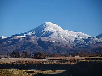
Mount Tateshina (蓼科山, Tateshina-yama) also Suwa Fuji is a complex volcano located on the border of the municipalities of Chino and Tateshina in Nagano Prefecture, Japan.
It has an elevation of 2,530 m (8,301 ft). This mountain is one of the 100 Famous Japanese Mountains.
Outline
Mount Tateshina is a typical complex volcano. About the origin of the name of this mountain, tate means water-pepper, and shina means steps or high places. So Tateshina is literally a high mountain of water-peppers. The other name of this mountain Suwa Fuji, literally, Mount Fuji of the Suwa region.
Mount Tateshina is an important part of Yatsugatake-Chūshin Kōgen Quasi-National Park.
Route
Routes to climb up Mount Tateshina are well-developed. The most popular route is to start from the Nanagome parking lot.
Gallery
-
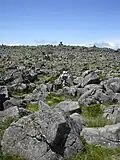 Ruin of the volcanic crater of Mount Tateshina
 -
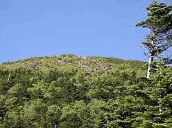
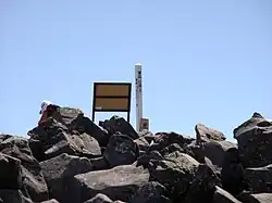 Top of Mount Tateshina
 -
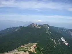
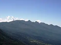 Yatsugatake Mountains from Mount Tateshina
 -
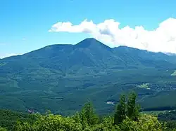
 Mount Tateshina from the middle of the mountain
 -
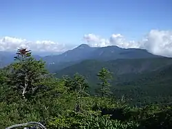 Mount Tateshina from Mount Tengu
 -
 Mount Tateshina from Mount Aka
 -
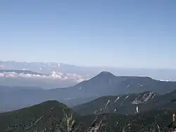
 Mount Tateshina from Mount Iō
 -
 Mount Tateshina in August
See also
References
- Shirakaba Kogen Hotel
- Official Home Page of the Geographical Survey Institute in Japan
- "Yokodake". Global Volcanism Program. Smithsonian Institution. Retrieved 2021-06-24.
| Hokkaidō | |||||||||
|---|---|---|---|---|---|---|---|---|---|
| Tōhoku region Jōshinetsu region | |||||||||
| Kantō region | |||||||||
| Chūbu region |
| ||||||||
| Western Japan | |||||||||
| |||||||||