Mount Rumney, Tasmania
| Mount Rumney Hobart, Tasmania | |||||||||||||||
|---|---|---|---|---|---|---|---|---|---|---|---|---|---|---|---|
 Mount Rumney | |||||||||||||||
| Coordinates | 42°51′41″S 147°27′11″E / 42.86139°S 147.45306°E | ||||||||||||||
| Population | 267 (2016 census)[1] | ||||||||||||||
| Postcode(s) | 7170 | ||||||||||||||
| Location | 7 km (4 mi) E of Rosny Park | ||||||||||||||
| LGA(s) | City of Clarence | ||||||||||||||
| Region | Hobart | ||||||||||||||
| State electorate(s) | Franklin | ||||||||||||||
| Federal division(s) | Franklin | ||||||||||||||
| |||||||||||||||
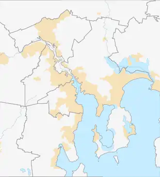
Mount Rumney is a semi-rural locality in the local government area (LGA) of Clarence in the Hobart LGA region of Tasmania. The locality is about 7 kilometres (4.3 mi) east of the town of Rosny Park. The 2016 census has a population of 267 for the state suburb of Mount Rumney.[1] It is a suburb of Hobart.
The suburb is based on the slopes of the mountain, Mount Rumney, part of the Meehan Range.
History
Mount Rumney was gazetted as a locality in 1999.[2]
Geography
Mount Rumney (the mountain) is contained within the locality.[3]
References
- ^ a b "2016 Census Quick Stats Mount Rumney (Tas.)". quickstats.censusdata.abs.gov.au. Australian Bureau of Statistics. 23 October 2017. Retrieved 13 September 2020.
- ^ "Placenames Tasmania – Mount Rumney". Placenames Tasmania. Select "Search", enter "38098L", click "Search", select row, map is displayed, click "Details". Retrieved 13 September 2020.
- ^ "Mount Rumney, Tasmania" (Map). Google Maps. Retrieved 13 September 2020.