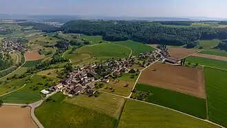
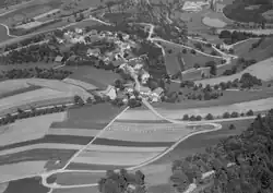
Opfertshofen
Opfertshofen | |
|---|---|
 | |
 Coat of arms | |
Location of Opfertshofen | |
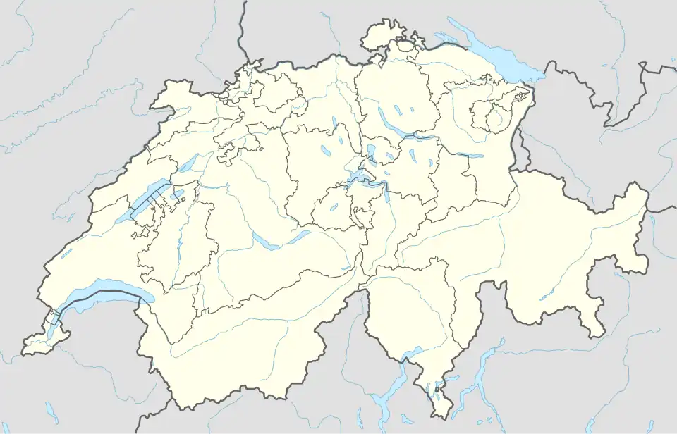 Opfertshofen 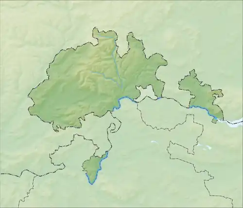 Opfertshofen | |
| Coordinates: 47°46′N 8°39′E / 47.767°N 8.650°E | |
| Country | Switzerland |
| Canton | Schaffhausen |
| District | n.a. |
| Area | |
• Total | 211 km2 (81 sq mi) |
| Elevation | 566 m (1,857 ft) |
| Population (December 2005) | |
• Total | 132 |
| • Density | 0.63/km2 (1.6/sq mi) |
| Time zone | UTC+01:00 (Central European Time) |
| • Summer (DST) | UTC+02:00 (Central European Summer Time) |
| Postal code(s) | 8236 |
| SFOS number | 2918 |
| ISO 3166 code | CH-SH |
| Surrounded by | Altdorf, Bibern, Büttenhardt, Hofen, Lohn, Tengen (DE-BW) |
| Website | Profile (in German), SFSO statistics |
Opfertshofen was a municipality in the canton of Schaffhausen in the north of Switzerland. On 1 January 2009 Opfershofen merged with Altdorf, Bibern, Hofen, and Thayngen to form the municipality of Thayngen.[1]
References
Wikimedia Commons has media related to Opfertshofen.
- ^ Amtliches Gemeindeverzeichnis der Schweiz published by the Swiss Federal Statistical Office (in German) accessed 23 September 2009