Padej
Padej
| |
|---|---|
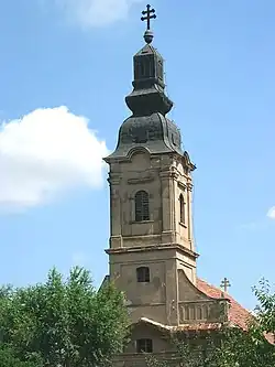
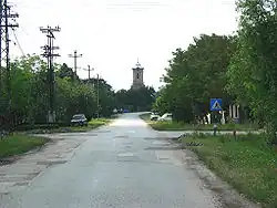 The main street and the Dedication of Saint Mary Major Catholic Church. | |
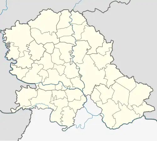 Padej Location of Padej within Serbia 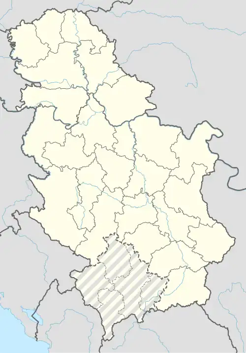 Padej Padej (Serbia) 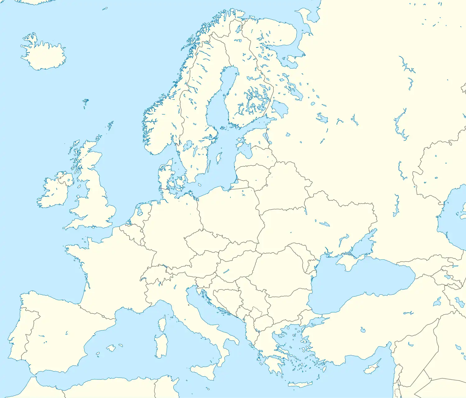 Padej Padej (Europe) | |
| Coordinates: 45°49′26″N 20°09′35″E / 45.82389°N 20.15972°E | |
| Country | Serbia |
| Province | Vojvodina |
| Region | Banat |
| District | North Banat |
| Municipality | Čoka |
| Area | |
• Padej | 78.3 km2 (30.2 sq mi) |
| Elevation | 82 m (269 ft) |
| Population (2011) | |
• Padej | 2,376 |
| • Density | 30/km2 (79/sq mi) |
| Time zone | UTC+1 (CET) |
| • Summer (DST) | UTC+2 (CEST) |
| Postal code | 23325 |
| Area code | +381(0)230 |
| Car plates | KI |
Padej (Serbian Cyrillic: Падеј; Hungarian: Padé) is a village located in Čoka municipality, North Banat District, Vojvodina province, Serbia. As of 2011 census, it has a population of 2,376 inhabitants.
External links
Wikimedia Commons has media related to Padej.
- History of Padej (in Hungarian)