Pembine (CDP), Wisconsin
Pembine, Wisconsin | |
|---|---|
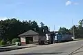
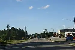 Looking north at downtown Pembine | |
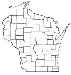 Location in Wisconsin | |
| Coordinates: 45°38′07″N 87°59′27″W / 45.63528°N 87.99083°W | |
| Country | United States |
| State | Wisconsin |
| County | Marinette |
| Area | |
• Total | 0.599 sq mi (1.55 km2) |
| • Land | 0.598 sq mi (1.55 km2) |
| • Water | 0.001 sq mi (0.003 km2) |
| Elevation | 971 ft (296 m) |
| Population | |
• Total | 188 |
| • Density | 310/sq mi (120/km2) |
| Time zone | UTC-6 (Central (CST)) |
| • Summer (DST) | UTC-5 (CDT) |
| Area codes | 715 & 534 |
| GNIS feature ID | 1571162[2] |
Pembine is an unincorporated census-designated place in Marinette County, Wisconsin (USA), in the town of Pembine. It is located on U.S. Route 141 and U.S. Route 8. It uses the Postal ZIP code 54156.[3] As of the 2020 census, its population is 188.
| Census | Pop. | Note | %± |
|---|---|---|---|
| 2010 | 193 | — | |
| 2020 | 188 | −2.6% | |
| U.S. Decennial Census[4] | |||
Images
-
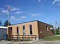 Post office
 -
 Looking north at the welcome sign
 -
 Train station
 -
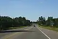
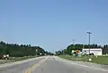 Looking west
References
- ^ "Census Bureau profile: Pembine CDP, Wisconsin". United States Census Bureau. May 2023. Retrieved April 1, 2025.
- ^ U.S. Geological Survey Geographic Names Information System: Pembine (CDP), Wisconsin
- ^ "Pembine, WI Profile: Facts & Data".
- ^ "Decennial Census by Decade". United States Census Bureau. Retrieved April 1, 2025.
Places adjacent to Pembine, Wisconsin | |
|---|---|
Wikimedia Commons has media related to Pembine, Wisconsin.
Municipalities and communities of Marinette County, Wisconsin, United States | ||
|---|---|---|
| Cities |  | |
| Villages | ||
| Towns | ||
| CDPs | ||
| Unincorporated communities | ||
| Footnotes | ‡This populated place also has portions in an adjacent county or counties | |