Priepert
Priepert | |
|---|---|
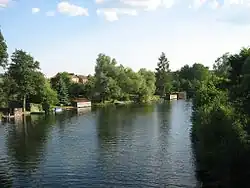 The Havel in Priepert | |
 Coat of arms | |
Location of Priepert within Mecklenburgische Seenplatte district 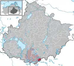 | |
 Priepert 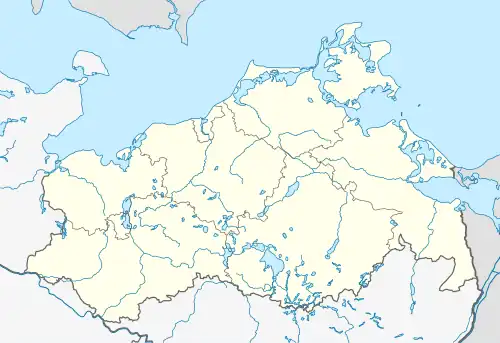 Priepert | |
| Coordinates: 53°13′6″N 13°02′20″E / 53.21833°N 13.03889°E | |
| Country | Germany |
| State | Mecklenburg-Vorpommern |
| District | Mecklenburgische Seenplatte |
| Municipal assoc. | Mecklenburgische Kleinseenplatte |
| Government | |
| • Mayor | Claus Menschel |
| Area | |
• Total | 22.56 km2 (8.71 sq mi) |
| Elevation | 66 m (217 ft) |
| Population (2023-12-31)[1] | |
• Total | 313 |
| • Density | 14/km2 (36/sq mi) |
| Time zone | UTC+01:00 (CET) |
| • Summer (DST) | UTC+02:00 (CEST) |
| Postal codes | 17255 |
| Dialling codes | 039828 |
| Vehicle registration | MST |
| Website | www.priepert.de |
Priepert is a municipality in the district Mecklenburgische Seenplatte, in Mecklenburg-Vorpommern, Germany. It is situated on the River Havel between the lakes of Großer Priepertsee and Ellbogensee.
References