Romance, Missouri
Romance, Missouri | |
|---|---|
Community | |
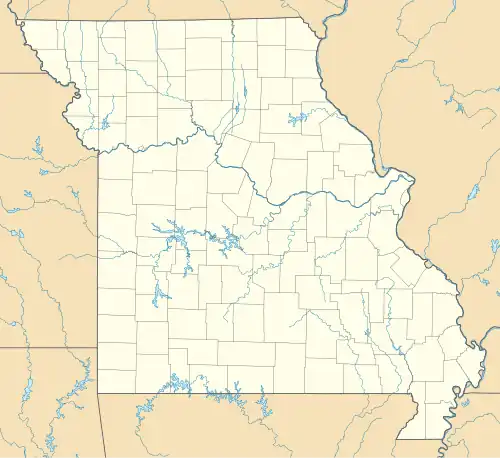 Romance, Missouri Location of Romance, Missouri  Romance, Missouri Romance, Missouri (the United States) | |
| Coordinates: 36°43′2″N 92°30′11″W / 36.71722°N 92.50306°W[1] | |
| Country | U. S. A. |
| State | Missouri |
| County | Ozark County |
| Elevation | 300 m (1,000 ft) |
| Time zone | UTC-6 (CST) |
| • Summer (DST) | UTC-5 (CDT) |
Romance is an unincorporated community in Ozark County, Missouri, United States. It is located approximately nine miles north of Gainesville. Romance is located in a valley at the confluence of two smaller streams with Ludecker Creek. It lies on state route Y, 2 miles (3.2 km) east of Missouri Route 5 and 2.3 miles (3.7 km) north of Willhoit.[1] The Romance fire tower sits atop a knob at 1,490 feet (450 m), about 2.5 miles east.[2]
History
A post office was established in the community in 1881, which was first named Nora. In 1889, the name was changed to Romance. Romance School was located in the community.[3] The post office was discontinued in 1967.[4]
References
- ^ a b c Wilhoit, Missouri, 7.5 Minute Topographic Quadrangle, USGS, 2004
- ^ Gainesville NW, Missouri, 7.5 Minute Topographic Quadrangle, USGS, 1968
- ^ "Ozark County Place Names, 1928–1945". The State Historical Society of Missouri. Archived from the original on June 24, 2016. Retrieved November 27, 2016.
- ^ "Post Offices". Jim Forte Postal History. Retrieved November 27, 2016.
Municipalities and communities of Ozark County, Missouri, United States | ||
|---|---|---|
| City |  | |
| Villages | ||
| Townships |
| |
| CDPs | ||
| Other communities | ||
| Ghost towns | ||