Wasola, Missouri
Wasola, Missouri | |
|---|---|
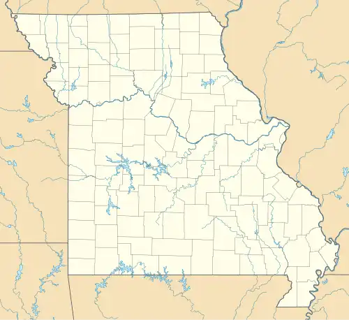 Wasola, Missouri Location of Wasola, Missouri  Wasola, Missouri Wasola, Missouri (the United States) | |
| Coordinates: 36°47′40″N 92°34′31″W / 36.79444°N 92.57528°W[1] | |
| Country | U. S. A. |
| State | Missouri |
| County | Ozark County |
| Area | |
• Total | 5.30 sq mi (13.73 km2) |
| • Land | 5.30 sq mi (13.72 km2) |
| • Water | 0.00 sq mi (0.01 km2) |
| Elevation | 1,280 ft (390 m) |
| Population (2020) | |
• Total | 115 |
| • Density | 21.71/sq mi (8.38/km2) |
| Time zone | UTC-6 (CST) |
| • Summer (DST) | UTC-5 (CDT) |
| FIPS code | 29-77794 |
Wasola is an unincorporated community in northern Ozark County, Missouri, United States.[3] It is located sixteen miles north of Gainesville on Route 5, at its northern intersection with Route 95. The Ozark–Douglas county line is approximately one–half mile north of the town.[1] A few businesses and homes are located there.
The community was founded in 1912 and its name has an unknown derivation, according to Ramsay,[4][5] possibly it is a coinage that is reminiscent of a Native American word. The Wasola post office was established in 1914 and has Zip code 65773.[6]
Demographics
| Census | Pop. | Note | %± |
|---|---|---|---|
| 2020 | 115 | — | |
| U.S. Decennial Census[7] | |||
References
- ^ a b c Wasola, Missouri, 7.5 Minute Topographic Quadrangle, USGS, 2004
- ^ "ArcGIS REST Services Directory". United States Census Bureau. Retrieved August 28, 2022.
- ^ U.S. Geological Survey Geographic Names Information System: Wasola, Missouri
- ^ "Ozark County Place Names, 1928-1945, The State Historical Society of Missouri". Archived from the original on March 31, 2016. Retrieved June 4, 2015.
- ^ Bell, Margaret (1933). Place-names in the southwest border counties of Missouri (Thesis).
- ^ Ozark County Post offices
- ^ "Census of Population and Housing". Census.gov. Retrieved June 4, 2016.
Municipalities and communities of Ozark County, Missouri, United States | ||
|---|---|---|
| City |  | |
| Villages | ||
| Townships |
| |
| CDPs | ||
| Other communities | ||
| Ghost towns | ||