Rue des Boulets station
Rue des Boulets | |||||||||||
|---|---|---|---|---|---|---|---|---|---|---|---|
| Paris Métro station | |||||||||||
_-_2022-06-24_-_7.jpg) | |||||||||||
| General information | |||||||||||
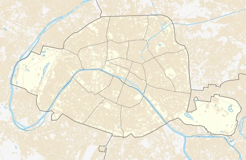
| Location | 11th arrondissement of Paris Île-de-France France | ||||||||||
| Coordinates | 48°51′07″N 2°23′25″E / 48.851811°N 2.390151°E | ||||||||||
| Owned by | RATP | ||||||||||
| Operated by | RATP | ||||||||||
| Other information | |||||||||||
| Fare zone | 1 | ||||||||||
| History | |||||||||||
| Opened | 10 December 1933 | ||||||||||
| Services | |||||||||||
| |||||||||||
| |||||||||||
Rue des Boulets (French pronunciation: [ʁy de bulɛ]) is a station on Line 9 of the Paris Métro in the 11th arrondissement of Paris.[1]
The station was opened on 10 December 1933 with the extension of the line from Richelieu–Drouot to Porte de Montreuil. It was originally called Rue des Boulets – Rue de Montreuil, before it was simply renamed Boulets – Montreuil. In 1998 it was renamed after the neighbouring Rue des Boulets. The street (which has had its current name since 1672) is part of the old road between Saint-Denis and Saint-Maur.
Station layout
| Street Level |
| B1 | Mezzanine |
| Line 9 platforms | Side platform, doors will open on the right | |
| Westbound | ← | |
| Eastbound | | |
| Side platform, doors will open on the right | ||
Gallery
-
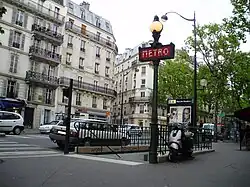 Street-level entrance at Rue des Boulets
 -
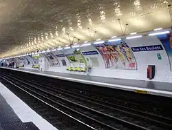 Line 9 platforms at Rue des Boulets
Further reading
- Roland, Gérard (2003). Stations de métro. D’Abbesses à Wagram. Éditions Bonneton.
References
- ^ "SYMBIOZ - Le Renouveau du Métro". www.symbioz.net. Retrieved 26 July 2024.
Wikimedia Commons has media related to Rue des Boulets (Paris Metro).