Rusidava (castra)
| Rusidava | |
|---|---|
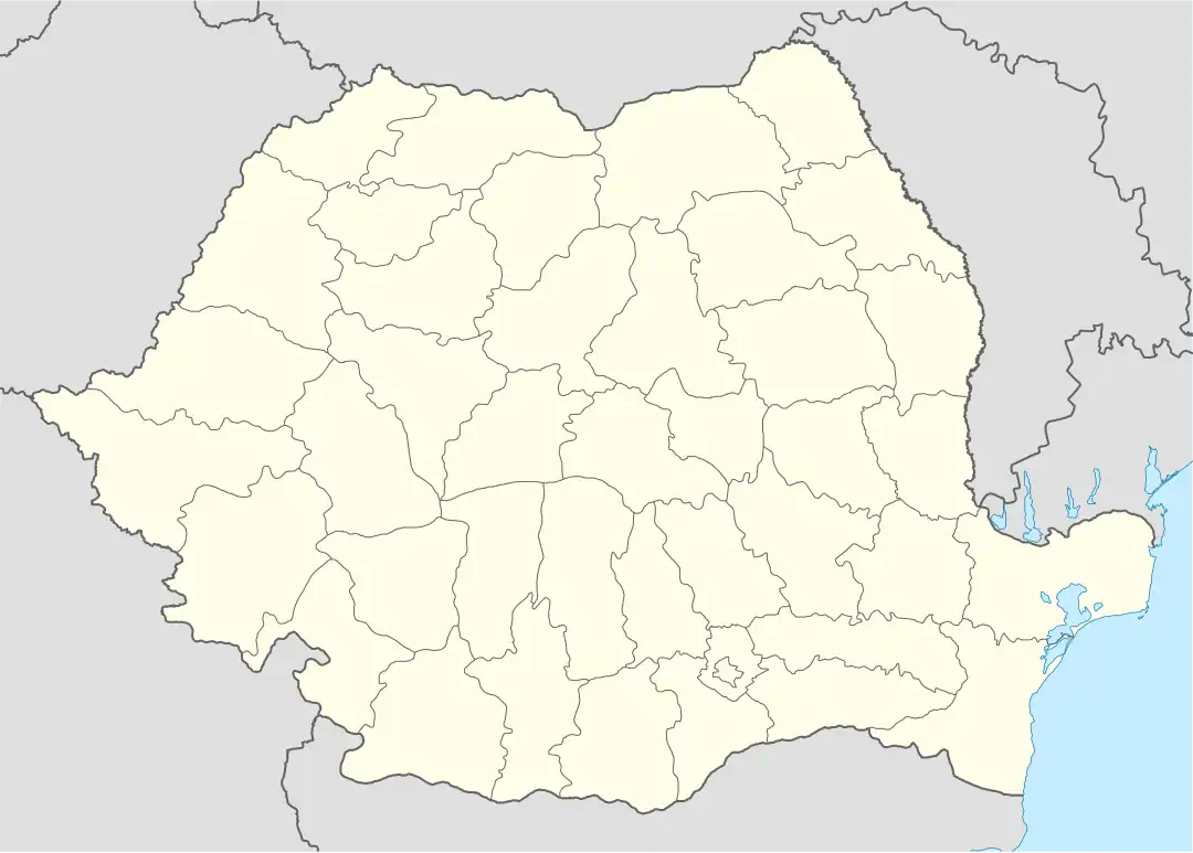 Location within Romania | |
| Alternative name(s) | Zusidava [1] |
| Known also as | Castra of Drăgășani |
| Founded | 2nd century AD |
| Attested by | Tabula Peutingeriana |
| Place in the Roman world | |
| Province | Dacia |
| Administrative unit | Dacia Malvensis |
| Administrative unit | Dacia Inferior |
| Limes | Alutanus |
| Location | |
| Coordinates | 44°39′N 24°15′E / 44.650°N 24.250°E |
| Place name | Momotești neighborhood |
| Town | Drăgășani |
| County | Olt |
| Country | |
| Site notes | |
| Condition | Ruined |
Rusidava was a fort in the Roman province of Dacia, part of the frontier system of the Limes Alutanus.
See also
External links
- Roman castra from Romania - Google Maps / Earth Archived 2012-12-05 at archive.today
Notes
- ^ Schütte, Gudmund (1917). "Ptolemy's maps of northern Europe, a reconstruction of the prototypes". The Royal Danish Geographical Society. Retrieved 2013-05-04.