Sainte-Colombe, Ille-et-Vilaine
Sainte-Colombe
| |
|---|---|
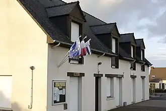 The town hall of Sainte-Colombe | |
Location of Sainte-Colombe | |
 Sainte-Colombe  Sainte-Colombe | |
| Coordinates: 47°53′19″N 1°27′18″W / 47.8886°N 1.4550°W | |
| Country | France |
| Region | Brittany |
| Department | Ille-et-Vilaine |
| Arrondissement | Fougères-Vitré |
| Canton | La Guerche-de-Bretagne |
| Intercommunality | Roche-aux-Fées |
| Government | |
| • Mayor (2022–2026) | Julien Richard[1] |
Area 1 | 7.58 km2 (2.93 sq mi) |
| Population (2022)[2] | 364 |
| • Density | 48/km2 (120/sq mi) |
| Time zone | UTC+01:00 (CET) |
| • Summer (DST) | UTC+02:00 (CEST) |
| INSEE/Postal code | 35262 /35134 |
| Elevation | 47–106 m (154–348 ft) |
| 1 French Land Register data, which excludes lakes, ponds, glaciers > 1 km2 (0.386 sq mi or 247 acres) and river estuaries. | |
Sainte-Colombe (French pronunciation: [sɛ̃t kɔlɔ̃b] ⓘ; Gallo: Saentt-Cólonbb-an-la-Méy, Breton: Santez-Koulm) is a commune in the Ille-et-Vilaine department in Brittany in northwestern France.
Population
Inhabitants of Sainte-Colombe are called colombins in French.
| Year | Pop. | ±% |
|---|---|---|
| 1962 | 285 | — |
| 1968 | 296 | +3.9% |
| 1975 | 277 | −6.4% |
| 1982 | 276 | −0.4% |
| 1990 | 262 | −5.1% |
| 1999 | 272 | +3.8% |
| 2009 | 305 | +12.1% |
See also
References
- ^ "Répertoire national des élus: les maires" (in French). data.gouv.fr, Plateforme ouverte des données publiques françaises. 4 May 2022.
- ^ "Populations de référence 2022" (in French). The National Institute of Statistics and Economic Studies. 19 December 2024.
External links
Wikimedia Commons has media related to Sainte-Colombe (Ille-et-Vilaine).
- Base Mérimée: Search for heritage in the commune, Ministère français de la Culture. (in French)
- Mayors of Ille-et-Vilaine Association Archived 14 January 2012 at the Wayback Machine (in French)