Sangha Ogol Leye
Sangha Ogol Leye | |
|---|---|
Village | |
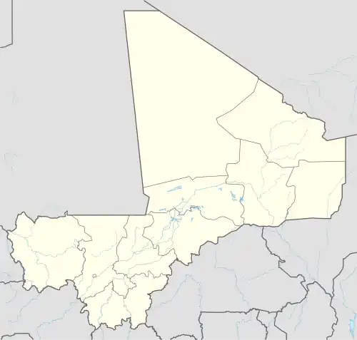 Sangha Ogol Leye Location in Mali | |
| Coordinates: 14°27′54″N 3°18′22″W / 14.46500°N 3.30611°W | |
| Country | |
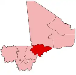
| Region | Mopti Region |
| Cercle | Bandiagara Cercle |
| Commune | Sangai |
| Time zone | UTC+0 (GMT) |
Sangha Ogol Leye is a village and seat of the commune of Sangha in the Cercle of Bandiagara in the Mopti Region of southern-central Mali.[1] The village is one of a group that are located at the top of the Bandiagara Escarpment.[2]
References
- ^ Communes de la Région de Mopti (PDF) (in French), Ministère de l’administration territoriale et des collectivités locales, République du Mali, archived from the original (PDF) on 2012-03-09.
- ^ Moran, Steven; Forkel, Robert; Heath, Jeffrey, eds. (2016). "Sangha-Ogol". dogonlanguages.org. Retrieved 2021-02-22.
Dogon topics | |||||
|---|---|---|---|---|---|
| People |  | ||||
| Religion |
| ||||
| History | |||||
| Demographic |
| ||||
| Culture |
| ||||