Saskatchewan Highway 350
.svg.png) Highway 350 | ||||
|---|---|---|---|---|
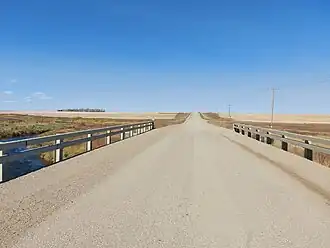 Bridge along Highway 350 over Long Creek | ||||
| Route information | ||||
| Maintained by Ministry of Highways and Infrastructure | ||||
| Length | 16.4 km[1] (10.2 mi) | |||
| Major junctions | ||||
| South end | ||||
| North end | ||||
| Location | ||||
| Country | Canada | |||
| Province | Saskatchewan | |||
| Rural municipalities | Cambria | |||
| Highway system | ||||
|
| ||||
| ||||
Highway 350 is a provincial highway in the Canadian province of Saskatchewan. It runs from Highway 18 near Torquay[2] to North Dakota Highway 42 at the U.S. border at the Port of Torquay. It is about 16 kilometres (9.9 mi) long.[1]
Major intersections
From south to north:[3]
| Rural municipality | Location | km[1] | mi | Destinations | Notes |
|---|---|---|---|---|---|
| Cambria No. 6 | Port of Torquay | 0.0 | 0.0 | Continuation into North Dakota | |
| Canada–United States border at Ambrose–Torquay Border Crossing | |||||
| Torquay | 16.4 | 10.2 | |||
| 1.000 mi = 1.609 km; 1.000 km = 0.621 mi | |||||
See also
References
- ^ a b c "Highway 350 in Saskatchewan" (Map). Google Maps. Retrieved 6 February 2018.
- ^ "South - Torquay - Hwys 18, 350". Tourism Saskatchewan. Government of Saskatchewan. Retrieved 18 December 2024.
- ^ MapArt (2007). Saskatchewan Road Atlas (Map) (2007 ed.). 1:540,000. Oshawa, ON: Peter Heiler Ltd. p. 51. ISBN 1-55368-020-0.
External links
 Media related to Saskatchewan Highway 350 at Wikimedia Commons