Shaghik
41°02′52″N 43°35′08″E / 41.04778°N 43.58556°E
Shaghik
Շաղիկ | |
|---|---|
 Shaghik 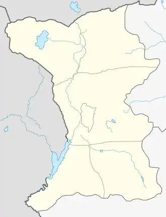 Shaghik | |
| Coordinates: 41°02′52″N 43°35′08″E / 41.04778°N 43.58556°E | |
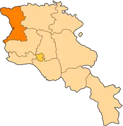
| Country | Armenia |
| Province | Shirak |
| Municipality | Amasia |
| Population (2011) | |
• Total | 88[1] |
| Time zone | UTC+4 |
| • Summer (DST) | UTC+5 |
Shaghik (Armenian: Շաղիկ) is a village in the Amasia Municipality of the Shirak Province of Armenia.
Demographics
According to 1912 publication of Kavkazskiy kalendar, there was a mainly Karapapakh population of 373 in the village of Karabulag of the Kars Okrug of the Kars Oblast.[2]
The population of the village since 1886 is as follows:[3]
| Year | Pop. | ±% p.a. |
|---|---|---|
| 1886 | 185 | — |
| 1897 | 302 | +4.56% |
| 1959 | 145 | −1.18% |
| 1970 | 217 | +3.73% |
| 1979 | 239 | +1.08% |
| 1989 | 180 | −2.80% |
| 2001 | 85 | −6.06% |
| 2011 | 88 | +0.35% |
| Source: [3] | ||
References
- ^ "Shirak (Armenia): Towns and Villages in Municipalities". www.citypopulation.de. Retrieved 2025-07-17.
- ^ Кавказский календарь на 1912 год [Caucasian calendar for 1912] (in Russian) (67th ed.). Tiflis: Tipografiya kantselyarii Ye.I.V. na Kavkaze, kazenny dom. 1912. Archived from the original on 11 December 2021.
- ^ a b Հայաստանի Հանրապետության բնակավայրերի բառարան [Republic of Armenia settlements dictionary] (PDF) (in Armenian). Yerevan: Cadastre Committee of the Republic of Armenia. 2008. Archived from the original (PDF) on 11 March 2018.