Sióagárd
Sióagárd | |
|---|---|
 Coat of arms | |
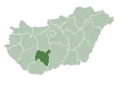
 Sióagárd Location of Sióagárd in Hungary | |
| Coordinates: 46°23′21″N 18°38′59″E / 46.38917°N 18.64972°E | |
| Country | Hungary |
| Region | Southern Transdanubia |
| County | Tolna |
| Area | |
• Total | 24.4 km2 (9.4 sq mi) |
| Population (2011)[2] | |
• Total | 1,268 |
| • Density | 52/km2 (130/sq mi) |
| Time zone | UTC+1 (CET) |
| • Summer (DST) | UTC+2 (CEST) |
| Postal code | 7171 |
| Area code | +36 74 |
| Website | www.sioagard.hu |
Sióagárd is a village in Tolna County, in central Hungary. The Sárvíz river flows into the Sió in the village.
References
- ^ Sióagárd at the Hungarian Central Statistical Office (Hungarian).
- ^ Sióagárd at the Hungarian Central Statistical Office (Hungarian). 2011
External links
Wikimedia Commons has media related to Sióagárd.
| City with county rights |
|   |
|---|---|---|
| Towns | ||
| Large villages | ||
| Villages |
| |
| Other topics |
| |