Somogyudvarhely
Somogyudvarhely
Dvorišče (in Croatian) | |
|---|---|
Village | |
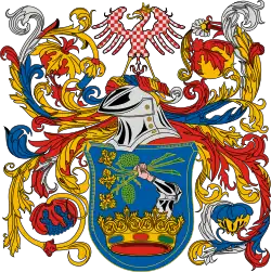
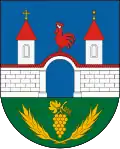 Coat of arms | |
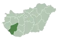
 Location of Somogy county in Hungary | |
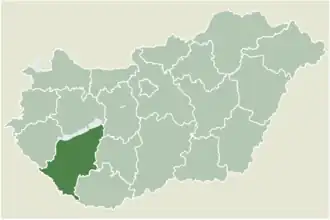
 Somogyudvarhely Location of Somogyudvarhely | |
| Coordinates: 46°10′35″N 17°11′16″E / 46.17631°N 17.18789°E | |
| Country | |
| Region | Southern Transdanubia |
| County | Somogy |
| District | Csurgó |
| RC Diocese | Kaposvár |
| Area | |
• Total | 40.42 km2 (15.61 sq mi) |
| Population (2017) | |
• Total | 967[1] |
| Demonym(s) | udvarhelyi, somogyudvarhelyi |
| Time zone | UTC+1 (CET) |
| • Summer (DST) | UTC+2 (CEST) |
| Postal code | 7515 |
| Area code | (+36) 82 |
| NUTS 3 code | HU232 |
| MP | László Szászfalvi (KDNP) |
| Website | Somogyudvarhely Online |
Somogyudvarhely (Croatian: Dvorišče) is a village in Somogy county, Hungary.
External links
- Street map (Hungarian)
- Website of the village (Hungarian)
- Website of the village's primary school (Hungarian)
References
| Town (1) |
| |
|---|---|---|
| Large village (1) | ||
| Villages (16) | ||