Stockton, Worfield
| Stockton | |
|---|---|
 St chad's Church | |
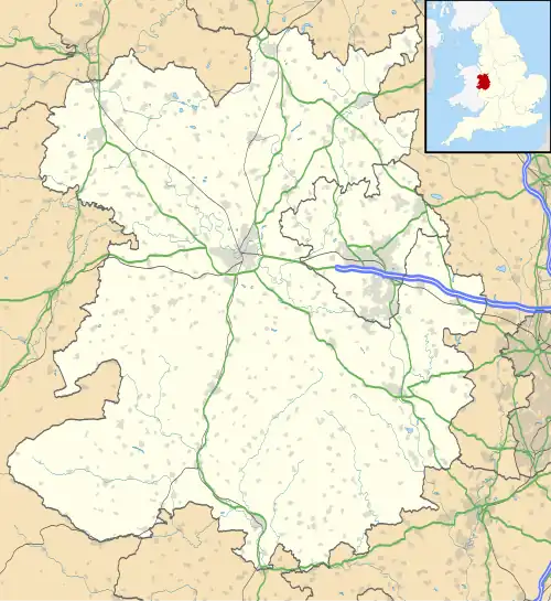 Stockton Location within Shropshire | |
| Area | 12.9468 km2 (4.9988 sq mi) |
| Population | 331 (2011 census) |
| • Density | 26/km2 (67/sq mi) |
| Civil parish |
|
| Unitary authority | |
| Ceremonial county | |
| Region | |
| Country | England |
| Sovereign state | United Kingdom |
| Website | https://www.hugofox.com/community/stockton-parish-council-10617/home |
Stockton is a village and civil parish 17 miles (27 km) south east of Shrewsbury,[1] in the Shropshire district, in the county of Shropshire, England. The parish includes the village of Norton and the hamlet of Higford.[2] In 2011, the parish had a population of 331.[3] The parish touches Astley Abbotts, Badger, Barrow, Beckbury, Broseley, Sutton Maddock and Worfield.[4]
Landmarks
There are 20 listed buildings in Stockton.[5] Stockton has a church called St Chad.[6]
History
The name "Stockton" probably means 'farm/settlement associated with an outlying farm/settlement'.[7] Stockton was recorded in the Domesday Book as Stochetone.[8]
References
- ^ "Distance from Stockton [52.594414, 2.401496]". GENUKI. Retrieved 28 March 2021.
- ^ "Parish Council". Hugo Fox. Retrieved 30 March 2021.
- ^ "Stockton". City Population De. Retrieved 28 March 2021.
- ^ "Stockton". Ordnance Survey. Retrieved 28 March 2021.
- ^ "Listed buildings in Stockton, Shropshire". British Listed Buildings. Retrieved 28 March 2021.
- ^ "Stockton S Chad". A Church Near You. Retrieved 30 March 2021.
- ^ "Stockton Key to English Place-names". The University of Nottingham. Retrieved 28 March 2021.
- ^ "Shropshire M-S". The Domesday Book Online. Retrieved 28 March 2021.
Wikimedia Commons has media related to Stockton, Worfield.