Tallahatta Springs, Alabama
Tallahatta Springs, Alabama | |
|---|---|
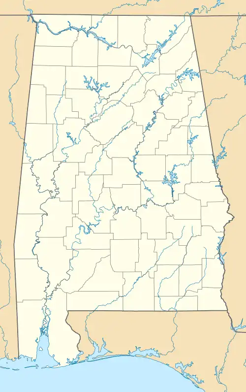 Tallahatta Springs, Alabama Location within the state of Alabama  Tallahatta Springs, Alabama Tallahatta Springs, Alabama (the United States) | |
| Coordinates: 31°54′35″N 87°52′36″W / 31.90960°N 87.87667°W | |
| Country | United States |
| State | Alabama |
| County | Clarke |
| Elevation | 200 ft (60 m) |
| Time zone | UTC-6 (Central (CST)) |
| • Summer (DST) | UTC-5 (CDT) |
| ZIP code | 36784 |
| Area code | 334 |
Tallahatta Springs, once called Lowder Springs, is an unincorporated community in Clarke County, Alabama, United States.[1] It was once known for its mineral springs at the headwaters of Tallahatta Creek. A health resort was established here in the middle of the 19th century.[2] Language scholars believe Tallahatta to be an adaptation of two Choctaw language words: tali (rock) and hata (silver/white), literally "white rock."[3]
Geography
Tallahatta Springs is located at 31°54′35″N 87°52′36″W / 31.90960°N 87.87667°W at an elevation of 200 feet (61 m).[1]
References
- ^ a b U.S. Geological Survey Geographic Names Information System: Tallahatta Springs
- ^ "Welcome to Clarke County: Historic Markers" (PDF). Clarke County Development Foundation. www.clarkecountyal.com. Archived from the original (PDF) on July 8, 2011. Retrieved April 8, 2011.
- ^ Bright, William (2004). Native American placenames of the United States. University of Oklahoma Press. p. 475. ISBN 0-8061-3576-X. Retrieved April 8, 2011.
Municipalities and communities of Clarke County, Alabama, United States | ||
|---|---|---|
| Cities | 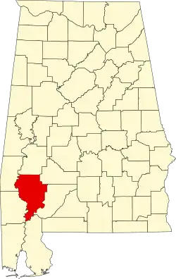 | |
| Towns | ||
| CDPs | ||
| Unincorporated communities | ||
| Ghost towns | ||