Tasco, Kansas
Tasco, Kansas | |
|---|---|
 KDOT map of Sheridan County (legend) | |
 Tasco  Tasco | |
| Coordinates: 39°21′8″N 100°18′10″W / 39.35222°N 100.30278°W[1] | |
| Country | United States |
| State | Kansas |
| County | Sheridan |
| Elevation | 2,500 ft (800 m) |
| Time zone | UTC-6 (CST) |
| • Summer (DST) | UTC-5 (CDT) |
| Area code | 785 |
| FIPS code | 20-70025 [1] |
| GNIS ID | 471276 [1] |
Tasco is an unincorporated community in Sheridan County, Kansas, United States.[1] It is located approximately seven miles east of Hoxie and south of U.S. Route 24, adjacent to an abandoned railroad.
History
Originally named Guy, the community was issued a post office in 1887.[2][1] The post office was renamed Tasco in 1923, then discontinued in 1953.[3]
Education
The community is served by Hoxie USD 412 public school district.
References
- ^ a b c d e f "Tasco, Kansas", Geographic Names Information System, United States Geological Survey, United States Department of the Interior
- ^ "Origin of Town Names" (PDF). Solomon Valley Highway 24 Heritage Alliance. p. 6. Retrieved April 9, 2018.
- ^ "Kansas Post Offices, 1828-1961". Kansas Historical Society. Retrieved January 2, 2018.
Further reading
Municipalities and communities of Sheridan County, Kansas, United States | ||
|---|---|---|
| Cities | 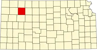 | |
| Unincorporated communities | ||
| Ghost towns | ||
| Townships | ||