Terisakkan
| Terisakkan Терісаққан / Терсаккан | |
|---|---|
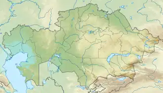 Mouth location in Kazakhstan | |
| Location | |
| Country | Kazakhstan |
| Physical characteristics | |
| Source | |
| • location | Ulytau Kazakh Uplands |
| Mouth | Ishim |
• coordinates | 51°14′58″N 67°09′33″E / 51.2494°N 67.1592°E |
| Length | 334 km (208 mi) |
| Basin size | 19,500 km2 (7,500 sq mi) |
| Discharge | |
| • average | 52.7 cubic metres per second (1,860 cu ft/s) |
| Basin features | |
| Progression | Ishim→ Irtysh→ Ob→ Kara Sea |
The Terisakkan (Kazakh: Терісаққан, Terısaqqan; Russian: Терсаккан, Tersakkan) is a river of northern Kazakhstan. A left tributary of the Ishim, it is 334 kilometres (208 mi) long and has a basin area of 19,500 square kilometres (7,500 sq mi).[1]
Geography
It flows through the western parts of the Kazakh Uplands and the average annual flow is approximately 2.5 cubic metres per second (88 cu ft/s), with a maximum up to 52.7 cubic metres per second (1,860 cu ft/s). In the upper reaches it dries up, and it freezes to the bottom in some winters.[1] Peak flow is in April during snowmelt. Together with the Kamysakty, Kalkutan, Zhabay, Akkanburlyk and Imanburlyk, the Terisakkan is part of the Ishim Water Management Basin.[2]
References
- ^ a b article110244, Great Soviet Encyclopedia
- ^ ""Управление водными ресурсами по бассейновому принципу"" (PDF). www.unesco.kz (in Russian). Archived from the original (PDF) on 2013-10-24. Retrieved 2013-10-24. / Almaty, 2009 год