Thomm
Thomm | |
|---|---|
 | |
|
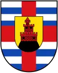
Flag 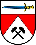 Coat of arms | |
Location of Thomm within Trier-Saarburg district 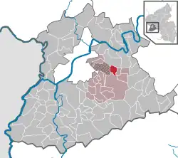 | |
 Thomm 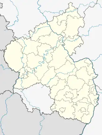 Thomm | |
| Coordinates: 49°44′10″N 6°48′00″E / 49.73611°N 6.80000°E | |
| Country | Germany |
| State | Rhineland-Palatinate |
| District | Trier-Saarburg |
| Municipal assoc. | Ruwer |
| Area | |
• Total | 4.49 km2 (1.73 sq mi) |
| Elevation | 462 m (1,516 ft) |
| Population (2023-12-31)[1] | |
• Total | 1,073 |
| • Density | 240/km2 (620/sq mi) |
| Time zone | UTC+01:00 (CET) |
| • Summer (DST) | UTC+02:00 (CEST) |
| Postal codes | 54317 |
| Dialling codes | 06500 |
| Vehicle registration | TR |
| Website | www.thomm-online.de |
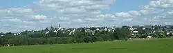
Thomm is a municipality in the Trier-Saarburg district, in Rhineland-Palatinate, Germany, near Trier on the river Moselle.
The Fell Exhibition Slate Mine is adjacent to Thomm.
References
- ^ Bevölkerungsstand 31. Dezember 2023, Landkreise, Gemeinden, Verbandsgemeinden; Fortschreibung des Zensus 2011 (in German), Statistisches Landesamt Rheinland-Pfalz, 2024
External links
Wikimedia Commons has media related to Thomm.