Uttarkashi
Uttarkashi
Kashi of North, Shivnagri, Saumyakashi or Barahat | |
|---|---|
Town | |
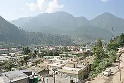 Uttarkashi Town | |
| Nickname: Uki | |
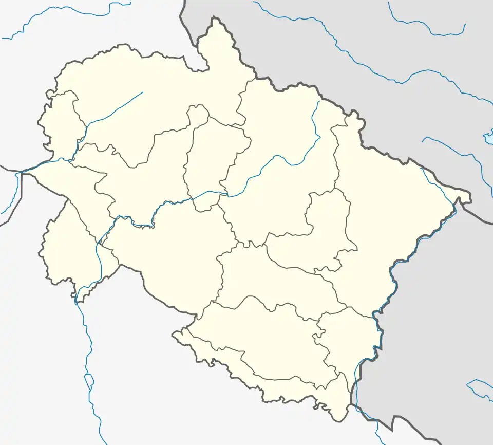 Uttarkashi Location in Uttarakhand, India  Uttarkashi Uttarkashi (India) | |
| Coordinates: 30°44′N 78°27′E / 30.73°N 78.45°E | |
| Country | |
| State | Uttarakhand |
| District | Uttarkashi |
| Government | |
| • Type | Municipality |
| • Body | Nagar Palika Barahat |
| Elevation | 1,158 m (3,799 ft) |
| Population (2019
population_total = 329,686 area_magnitude= km2) | |
• Total | 40,220 |
| Languages | |
| • Native S | Garhwali, Parvati |
| • Official | Hindi, Sanskrit |
| Time zone | UTC+5:30 (IST) |
| PIN | 249193 |
| Telephone code | 01374 |
| Vehicle registration | UK10 |
| Website | uttarkashi |
Uttarkashi is a town and the headquarters of Uttarkashi district in Uttarakhand, India.
Geography
Uttarkashi is located at 30°44′N 78°27′E / 30.73°N 78.45°E.[1] It has an average elevation of 1,165 metres (3,822 ft).
Demographics
As of 2001 India census,[2] Uttarkashi city had a population of 40,220. Males constitute 57% of the population and females 43%. Uttarkashi has an average literacy rate of 78%, higher than the national average of 59.5%. Male literacy is 83%, and female literacy is 71%. In Uttarkashi, 11% of the population is under 6 years of age.
Uttarkashi Tunnel Rescue
On November 12, 2023, 41 construction workers at Uttarkashi Tunnel in Uttarakhand were trapped in the tunnel by a collapse. On 28 November all workers were rescued.[3]
See also
References
- ^ "Maps, Weather, and Airports for Uttarkashi, India". www.fallingrain.com.
- ^ "Census of India 2001: Data from the 2001 Census, including cities, villages and towns (Provisional)". Census Commission of India. Archived from the original on 16 June 2004. Retrieved 1 November 2008.
- ^ "'Today is the real Diwali for us', say workers rescued from Uttarkashi tunnel". Hindustan Times. 28 November 2023. Retrieved 28 November 2023.