Anegam, Arizona
Anegam, Arizona | |
|---|---|
Populated place | |
 Location of Anegam in Pima County, Arizona. | |
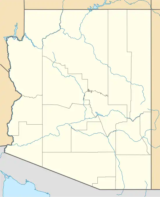 Anegam, Arizona Location of Anegam in Arizona | |
| Coordinates: 32°22′22″N 112°01′51″W / 32.37278°N 112.03083°W | |
| Country | United States |
| State | Arizona |
| County | Pima |
| Area | |
• Total | 2.31 sq mi (5.99 km2) |
| • Land | 2.31 sq mi (5.99 km2) |
| • Water | 0.00 sq mi (0.00 km2) |
| Elevation | 1,762 ft (537 m) |
| Population (2010) | |
• Total | 151 |
• Estimate (2016)[3] | N/A |
| Time zone | UTC-7 (Mountain (MST)) |
| • Summer (DST) | UTC-7 (MST) |
| ZIP code | 85634[4] |
| Area code | 520 |
| FIPS code | 025-02270 |
| GNIS feature ID | 652 |
Anegam (O'odham) name translates as "Desert Willow", is a populated place and census-designated place (CDP), situated on the Tohono O'odham Indian Reservation, in Pima County, Arizona, United States.[5] Its population was 151 as of the 2010 census, and 154 as of July 1, 2015. It has an estimated elevation of 1,762 feet (537 m) above sea level.
Demographics
| Census | Pop. | Note | %± |
|---|---|---|---|
| 1960 | 35 | — | |
| 2010 | 151 | — | |
| U.S. Decennial Census[6] | |||
The population of Anegam was 35 in the 1960 census.[7]
Anegam appeared on the 2010 U.S. Census as a census-designated place (CDP), with 151 residents. As of the 2020 census the population was 149.[8]
Education
It is in the Indian Oasis-Baboquivari Unified School District.[9]
References
- ^ "2016 U.S. Gazetteer Files". United States Census Bureau. Retrieved July 18, 2017.
- ^ "Feature Detail Report for: Anegam". Geographic Names Information System. United States Geological Survey, United States Department of the Interior.
- ^ "Population and Housing Unit Estimates". Retrieved June 9, 2017.
- ^ "Anegam AZ ZIP Code". zipdatamaps.com. 2023. Retrieved May 3, 2023.
- ^ Bright, William (2013). Native American Placenames of the United States. University of Oklahoma Press. p. 7. ISBN 978-0-8061-2444-5.
- ^ "Census of Population and Housing". Census.gov. Retrieved June 4, 2016.
- ^ "Arizona". World Book Encyclopedia. Vol. A. Chicago: Field Enterprises Educational Corporation. 1960. p. 557.
- ^ "Explore Census Data". data.census.gov. Retrieved July 3, 2024.
- ^ "2020 CENSUS - SCHOOL DISTRICT REFERENCE MAP: Pima County, AZ" (PDF). U.S. Census Bureau. p. 1 (PDF p. 2/3). Retrieved November 7, 2024. - Text list
