Hickiwan, Arizona
Hickiwan, Arizona | |
|---|---|
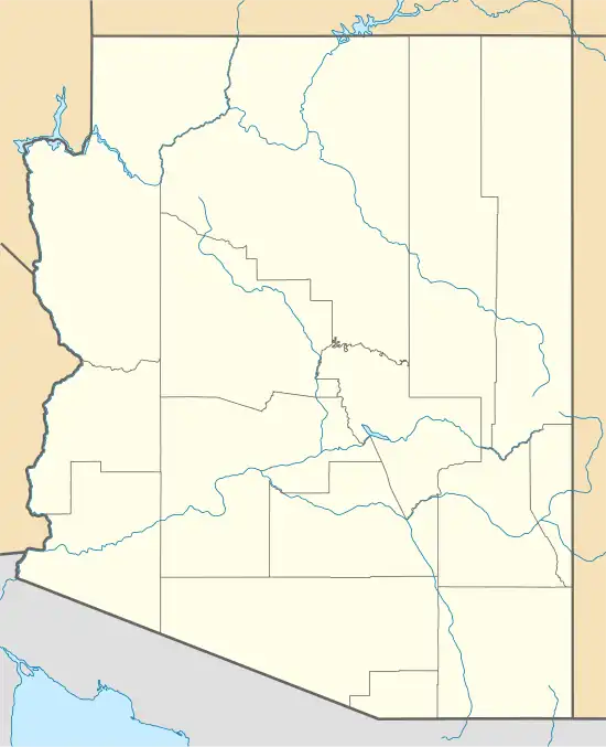 Hickiwan Location within the state of Arizona  Hickiwan Hickiwan (the United States) | |
| Coordinates: 32°22′08″N 112°28′32″W / 32.36889°N 112.47556°W | |
| Country | |
| State | |
| County | Pima |
| Tribe | Tohono O'odham Nation |
| Elevation | 670 m (2,198 ft) |
| Time zone | UTC-7 (Mountain (MST)) |
| • Summer (DST) | UTC-7 (MST) |
| Area code | 520 |
| FIPS code | 04-32650 |
| GNIS feature ID | 5752 |
Hickiwan is a populated place situated in Pima County, Arizona, United States. It has been known by a plethora of names over the years, such as Hikibon, Hikiro, Hikjorn, Hikuwan, Jiquibo, Kokuli, Milpitas, Perigua, Periqua, Piriqua, and Tachitoa. The name was officially recognized as Hickiwan by a decision of the Board on Geographic Names in 1941. It has an estimated elevation of 2,198 feet (670 m) above sea level.[1]
Vaya Chin, also historically known as South Well during the 1930s, is located at Hickiwan. The name is derived from the O'odham term vaya chin, meaning "well's mouth".
