Beruri
Beruri | |
|---|---|
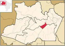 Location of the municipality inside Amazonas | |
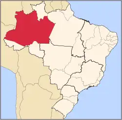
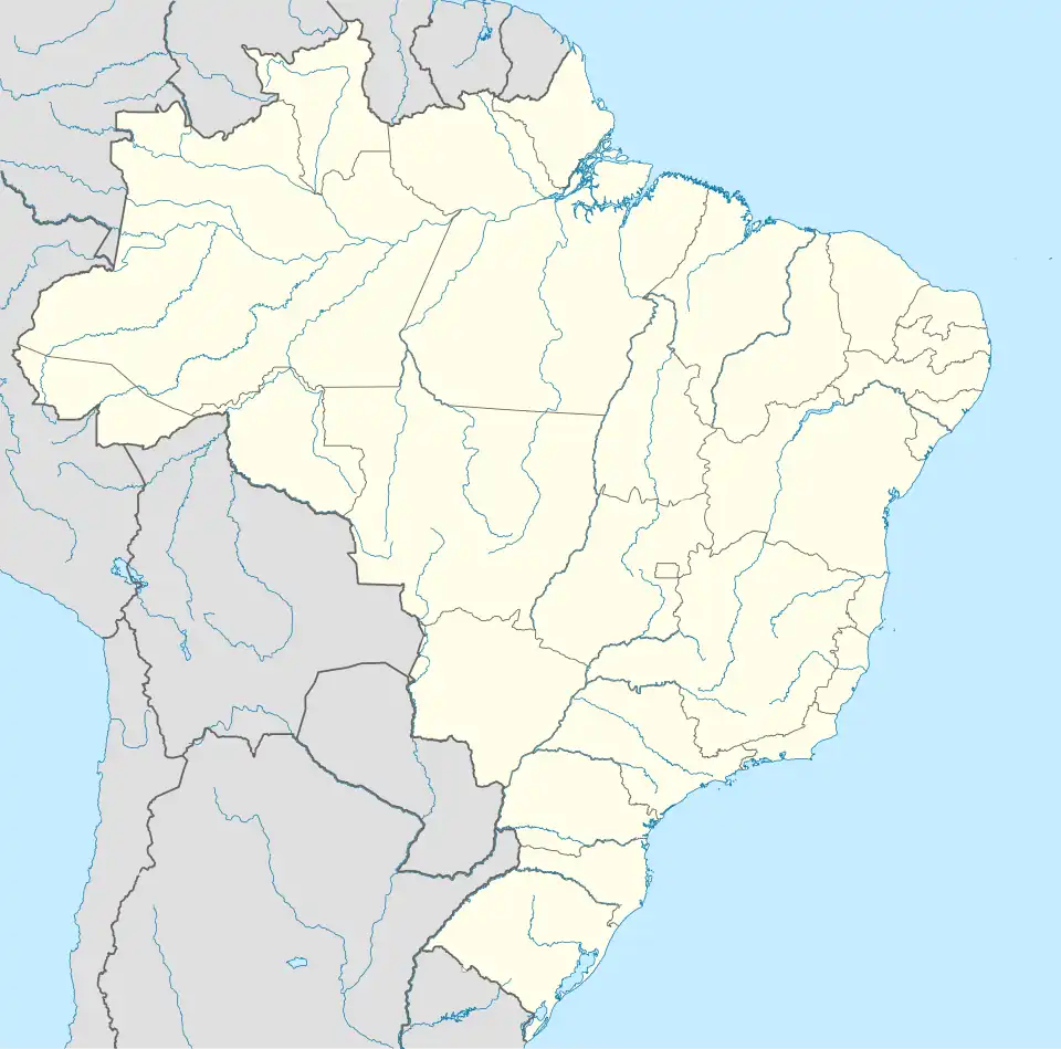 Beruri Location in Brazil | |
| Coordinates: 3°53′54″S 61°22′23″W / 3.89833°S 61.37306°W | |
| Country | |
| Region | North |
| State | |
| Area | |
• Total | 17,251 km2 (6,661 sq mi) |
| Population (2020) | |
• Total | 20,093 |
| • Density | 0.76/km2 (2.0/sq mi) |
| Time zone | UTC−4 (AMT) |
| Climate | Af |
Beruri is a municipality located in the Brazilian state of Amazonas. Its population was 20,093 (2020)[1] and its area is 17,251 km².[2]
The municipality contains 28.17% of the 1,008,167 hectares (2,491,230 acres) Piagaçu-Purus Sustainable Development Reserve, established in 2003.[3] It contains about 6% of the Nascentes do Lago Jari National Park, an 812,745 hectares (2,008,340 acres) protected area established in 2008.[4] It contain 57% of the 397,557 hectares (982,380 acres) Igapó-Açu Sustainable Development Reserve, created in 2009.[5]
References
- ^ IBGE 2020
- ^ IBGE - "Archived copy". Archived from the original on 2007-01-09. Retrieved 2014-08-03.
{{cite web}}: CS1 maint: archived copy as title (link) - ^ RDS Piagaçu-Purus (in Portuguese), ISA: Instituto Socioambiental, retrieved 2016-08-20
{{citation}}: CS1 maint: publisher location (link) - ^ FLONA do Iquiri (in Portuguese), ISA: Instituto Socioambiental, retrieved 2016-06-02
{{citation}}: CS1 maint: publisher location (link) - ^ RDS Igapó-Açu (in Portuguese), ISA: Instituto Socioambiental, retrieved 2016-09-02
{{citation}}: CS1 maint: publisher location (link)
Capital: Manaus | ||||||||||||||
| Mesoregion Centro Amazonense |
|  | ||||||||||||
| Mesoregion Norte Amazonense |
| |||||||||||||
| Mesoregion Sudoeste Amazonense |
| |||||||||||||
| Mesoregion Sul Amazonense |
| |||||||||||||