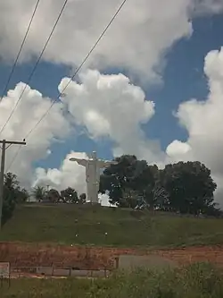
Rio Preto da Eva
Rio Preto da Eva | |
|---|---|
 | |
 Flag | |
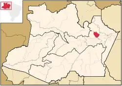 Location of the municipality inside Amazonas | |
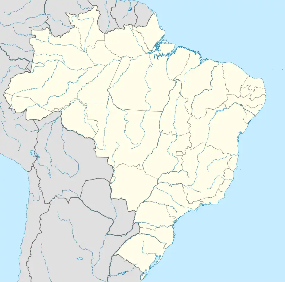 Rio Preto da Eva Location in Brazil | |
| Coordinates: 2°41′56″S 59°42′0″W / 2.69889°S 59.70000°W | |
| Country | |
| Region | North |
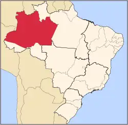
| State | |
| Population (2020) | |
• Total | 34,106 |
| Time zone | UTC−4 (AMT) |
Rio Preto da Eva (Black River of Eve in Portuguese) is a municipality located just east of Manaus in the Brazilian state of Amazonas. Its population was 34,106 (2020)[1] and its area is 5,813 square kilometres (2,244 sq mi).[2]
Geography
The municipality contains most of the Biological Dynamics of Forest Fragments Project Area of Relevant Ecological Interest, created in 1985.[3] The municipality contains the 27,342 hectares (67,560 acres) Rio Urubu State Forest, created in 2003.[4]
References
- ^ IBGE 2020
- ^ IBGE - [1]
- ^ ARIE Proj. Dinâmica B. de Fragmentos Florestais (in Portuguese), ISA: Instituto Socioambiental, retrieved 2016-10-18
{{citation}}: CS1 maint: publisher location (link) - ^ FES do Rio Urubu (in Portuguese), ISA: Instituto Socioambiental, retrieved 2016-10-20
{{citation}}: CS1 maint: publisher location (link)
Capital: Manaus | ||||||||||||||
| Mesoregion Centro Amazonense |
|  | ||||||||||||
| Mesoregion Norte Amazonense |
| |||||||||||||
| Mesoregion Sudoeste Amazonense |
| |||||||||||||
| Mesoregion Sul Amazonense |
| |||||||||||||