Manaquiri
Manaquiri | |
|---|---|
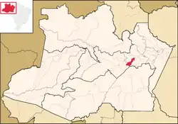 Location of the municipality inside Amazonas | |
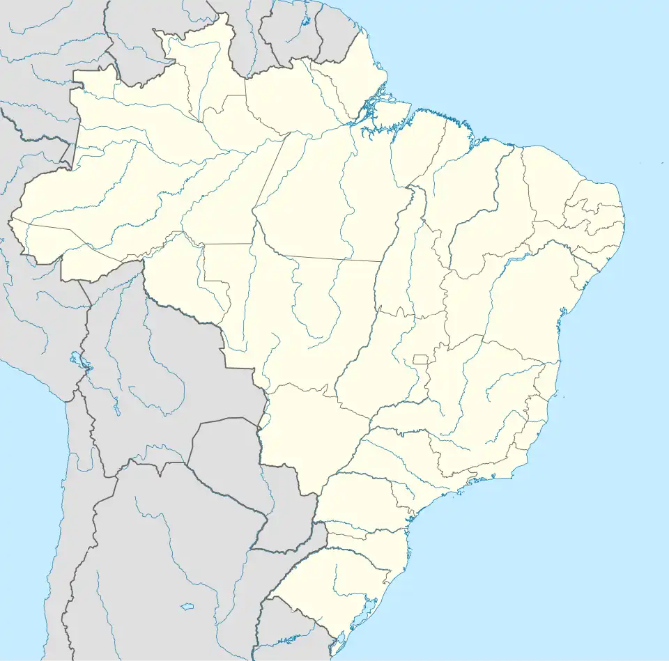 Manaquiri Location in Brazil | |
| Coordinates: 3°25′41″S 60°27′34″W / 3.42806°S 60.45944°W | |
| Country | |
| Region | North |
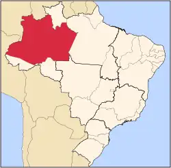
| State | |
| Population (2020) | |
• Total | 33,049 |
| Time zone | UTC−4 (AMT) |
Manaquiri is a municipality located in the Brazilian state of Amazonas.
Demography
Its population was 33,049 (2020)[1] and its area is 3,976 km2.[2]
Geography
Manaquiri is located in a portion of the southern Várzea forest of the Amazon River. The main waterway of the Amazon is located around 8 km (5 mi) north of the municipality.
Transport
By road, Manaquiri is connected via the AM-354 highway.
References
- ^ IBGE 2020
- ^ IBGE - "Archived copy". Archived from the original on 2007-01-09. Retrieved 2007-01-09.
{{cite web}}: CS1 maint: archived copy as title (link)
Capital: Manaus | ||||||||||||||
| Mesoregion Centro Amazonense |
|  | ||||||||||||
| Mesoregion Norte Amazonense |
| |||||||||||||
| Mesoregion Sudoeste Amazonense |
| |||||||||||||
| Mesoregion Sul Amazonense |
| |||||||||||||