Brachiopod Mountain
| Brachiopod Mountain | |
|---|---|
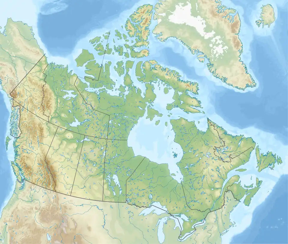
 Brachiopod Mountain Location in Alberta  Brachiopod Mountain Location in Canada | |
| Highest point | |
| Elevation | 2,667 m (8,750 ft)[1] |
| Prominence | 152 m (499 ft)[2] |
| Listing | Mountains of Alberta |
| Coordinates | 51°28′43″N 116°02′13″W / 51.4786111°N 116.0369444°W[3] |
| Geography | |
| Country | Canada |
| Province | Alberta |
| Protected area | Banff National Park |
| Parent range | Canadian Rockies Slate Range |
| Topo map | NTS 82N8 Lake Louise[3] |
| Climbing | |
| First ascent | 1911 J.F. Porter and party[1] |
| Easiest route | Scrambling Routes west slopes[4] |
Brachiopod Mountain was named by James F. Porter for the fossil brachiopods found in the Devonian limestone of the mountain. It is located in the Slate Range, a subset of the Canadian Rockies in Alberta, Canada.[1][2]
Climate
Based on the Köppen climate classification, Brachiopod Mountain is located in a subarctic climate zone with cold, snowy winters, and mild summers.[5] Temperatures can drop below −20 °C with wind chill factors below −30 °C.
See also
References
- ^ a b c "Brachiopod Mountain". cdnrockiesdatabases.ca. Retrieved 2019-06-11.
- ^ a b "Brachiopod Mountain". Bivouac.com. Retrieved 2019-06-11.
- ^ a b "Brachiopod Mountain". Geographical Names Data Base. Natural Resources Canada. Retrieved 2024-11-30.
- ^ Kane, Alan (1999). "Brachiopod Mountain". Scrambles in the Canadian Rockies. Calgary: Rocky Mountain Books. p. 256. ISBN 0-921102-67-4.
- ^ Peel, M. C.; Finlayson, B. L. & McMahon, T. A. (2007). "Updated world map of the Köppen−Geiger climate classification". Hydrol. Earth Syst. Sci. 11 (5): 1633–1644. Bibcode:2007HESS...11.1633P. doi:10.5194/hess-11-1633-2007. ISSN 1027-5606.
External links
Brachiopod Mountain photo: Flickr