High Rock Range
| High Rock Range | |
|---|---|
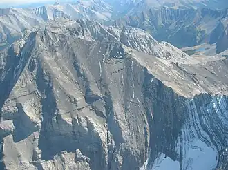 Mount Rae from the north, Sept. 2006 | |
| Highest point | |
| Peak | Mount Rae |
| Elevation | 3,218 m (10,558 ft) |
| Coordinates | 50°37′22″N 114°58′29″W / 50.62278°N 114.97472°W[1] |
| Dimensions | |
| Length | 117 km (73 mi) N-S[2] |
| Width | 37 km (23 mi) E-W[2] |
| Area | 2,172 km2 (839 sq mi)[2] |
| Geography | |
 High Rock Range Location in Alberta  High Rock Range Location in British Columbia 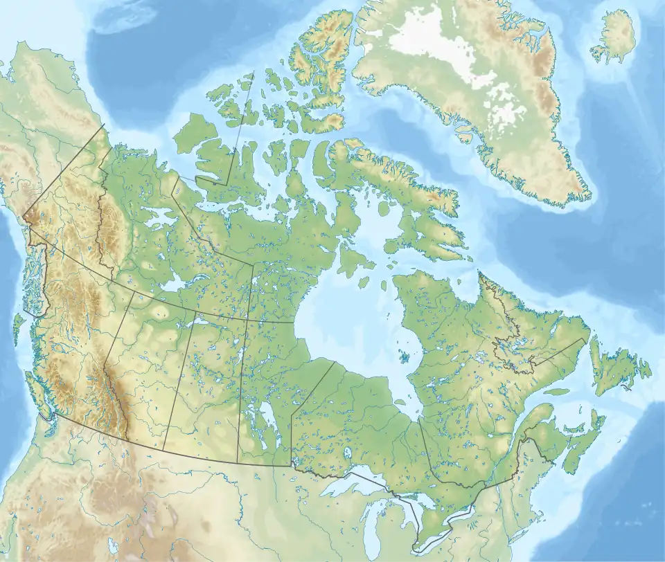 High Rock Range Location in Canada | |
| Country | Canada |
| Provinces | Alberta and British Columbia |
| Range coordinates | 50°08′56″N 114°42′21″W / 50.14889°N 114.70583°W[3] |
| Parent range | Canadian Rockies |
| Topo map | NTS 82J2 Fording River[3] |
The High Rock Range is a mountain range of the Canadian Rockies in southwestern Alberta and southeastern British Columbia, Canada.
It is a part of the Southern Continental Ranges and is located on the Continental Divide, north of the Crowsnest Pass and south of the Highwood Pass.[4] It lies partly within Kananaskis Country.
The Misty Range and the Greenhills Range are subdivisions of the High Rock.
The High Rock Range covers a surface area of 2,172 km2 (838 mi2), has a length of 117 km (73 mi) (from north to south) and a width of 37 km (23 mi).[2]
List of mountains
See also
References
- ^ "Mount Rae". Geographical Names Data Base. Natural Resources Canada. Retrieved 2021-11-17.
- ^ a b c d "High Rock Range". Peakbagger.com. Retrieved 2006-09-20.
- ^ a b "High Rock Range (Alberta)". Geographical Names Data Base. Natural Resources Canada. Retrieved 2021-11-17.
- ^ "High Rock Range". cdnrockiesdatabases.ca. Retrieved 2006-09-20.