Clarysville, Maryland
Clarysville, Maryland | |
|---|---|
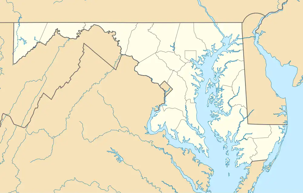 Clarysville Location within the State of Maryland  Clarysville Clarysville (the United States) | |
| Coordinates: 39°38′31″N 78°53′20″W / 39.64194°N 78.88889°W | |
| Country | |
| State | |
| County | |
| Area | |
• Total | 0.12 sq mi (0.30 km2) |
| • Land | 0.12 sq mi (0.30 km2) |
| • Water | 0.00 sq mi (0.00 km2) |
| Elevation | 1,506 ft (459 m) |
| Population (2020) | |
• Total | 67 |
| • Density | 572.65/sq mi (221.28/km2) |
| Time zone | UTC−5 (Eastern (EST)) |
| • Summer (DST) | UTC−4 (EDT) |
| ZIP code | 21532[3] |
| Area codes | 240 and 301 |
| FIPS code | 24-17475 |
| GNIS feature ID | 2583599[2] |
Clarysville is an unincorporated community and census-designated place (CDP) in Allegany County, Maryland, United States. As of the 2010 census it had a population of 73.[4]
It is located along U.S. Route 40 Alternate at its intersection with Maryland Route 55. Frostburg is 2 miles (3 km) to the west, and Cumberland is 7 miles (11 km) to the east along Route 40 Alt.
Clarysville was known around the region for the Clarysville Inn, a historic building which stood from 1807 until it burned in 1999.[5] During the American Civil War, the inn served as a military hospital, treating wounded soldiers.[6]
The exit of the Hoffman drainage tunnel, constructed to drain several coal mines, is near Clarysville.
Demographics
| Census | Pop. | Note | %± |
|---|---|---|---|
| 2020 | 67 | — | |
| U.S. Decennial Census[7] | |||
References
- ^ "2020 U.S. Gazetteer Files". United States Census Bureau. Retrieved April 26, 2022.
- ^ a b U.S. Geological Survey Geographic Names Information System: Clarysville, Maryland
- ^ "Clarysville MD ZIP Code". zipdatamaps.com. 2023. Retrieved April 18, 2023.
- ^ "Geographic Identifiers: 2010 Demographic Profile Data (G001): Clarysville CDP, Maryland". U.S. Census Bureau, American Factfinder. Archived from the original on February 12, 2020. Retrieved May 23, 2013.
- ^ Cumberland Times-News Articles, March 10-11, 1999
- ^ Clarysville General Hospital
- ^ "Census of Population and Housing". Census.gov. Retrieved June 4, 2016.