Columbia Township, Jennings County, Indiana
Columbia Township | |
|---|---|
 Location in Jennings County | |
| Coordinates: 39°07′03″N 85°29′34″W / 39.11750°N 85.49278°W | |
| Country | United States |
| State | Indiana |
| County | Jennings |
| Government | |
| • Type | Indiana township |
| Area | |
• Total | 39.49 sq mi (102.3 km2) |
| • Land | 39.48 sq mi (102.3 km2) |
| • Water | 0.02 sq mi (0.05 km2) 0.05% |
| Elevation | 810 ft (247 m) |
| Population (2020) | |
• Total | 920 |
| • Density | 23/sq mi (9.0/km2) |
| GNIS feature ID | 0453241 |
Columbia Township is one of eleven townships in Jennings County, Indiana, United States. As of the 2020 census, its population was 920 (up from 868 at 2010[1]) and it contained 406 housing units.[2]
Columbia Township was established in 1817.[3]
| Census | Pop. | Note | %± |
|---|---|---|---|
| 1890 | 1,244 | — | |
| 1900 | 1,195 | −3.9% | |
| 1910 | 1,000 | −16.3% | |
| 1920 | 944 | −5.6% | |
| 1930 | 746 | −21.0% | |
| 1940 | 775 | 3.9% | |
| 1950 | 777 | 0.3% | |
| 1960 | 751 | −3.3% | |
| 1970 | 737 | −1.9% | |
| 1980 | 774 | 5.0% | |
| 1990 | 813 | 5.0% | |
| 2000 | 759 | −6.6% | |
| 2010 | 868 | 14.4% | |
| 2020 | 920 | 6.0% | |
| Source: US Decennial Census[4] | |||
Geography
According to the 2010 census, the township has a total area of 39.49 square miles (102.3 km2), of which 39.48 square miles (102.3 km2) (or 99.97%) is land and 0.02 square miles (0.052 km2) (or 0.05%) is water.[1] The streams of Square Run and Wolf Creek run through this township.
Unincorporated towns
Adjacent townships
- Marion Township, Decatur County (north)
- Jackson Township, Ripley County (northeast)
- Otter Creek Township, Ripley County (east)
- Campbell Township (south)
- Sand Creek Township (west)
- Sand Creek Township, Decatur County (northwest)
Cemeteries
The township contains three cemeteries: Cornell, Old Zenas, and Zenas.
References
- "Columbia Township, Jennings County, Indiana". Geographic Names Information System. United States Geological Survey, United States Department of the Interior. Retrieved September 24, 2009.
- United States Census Bureau cartographic boundary files
- ^ a b "Population, Housing Units, Area, and Density: 2010 - County -- County Subdivision and Place -- 2010 Census Summary File 1". United States Census. Archived from the original on February 12, 2020. Retrieved May 10, 2013.
- ^ "Explore Census Data". data.census.gov. Retrieved April 10, 2024.
- ^ Jennings Co. Historical Society (1999). Jennings Co., Indiana - Pictorial. Turner Publishing Company. p. 58. ISBN 9781563115219.
- ^ "Township Census Counts: STATS Indiana".
External links
Municipalities and communities of Jennings County, Indiana, United States | ||
|---|---|---|
| City | 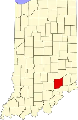 | |
| Town | ||
| Townships | ||
| CDPs | ||
| Other communities | ||
| Footnotes | ‡This populated place also has portions in an adjacent county or counties | |