Aulattivik
 Aulattivik 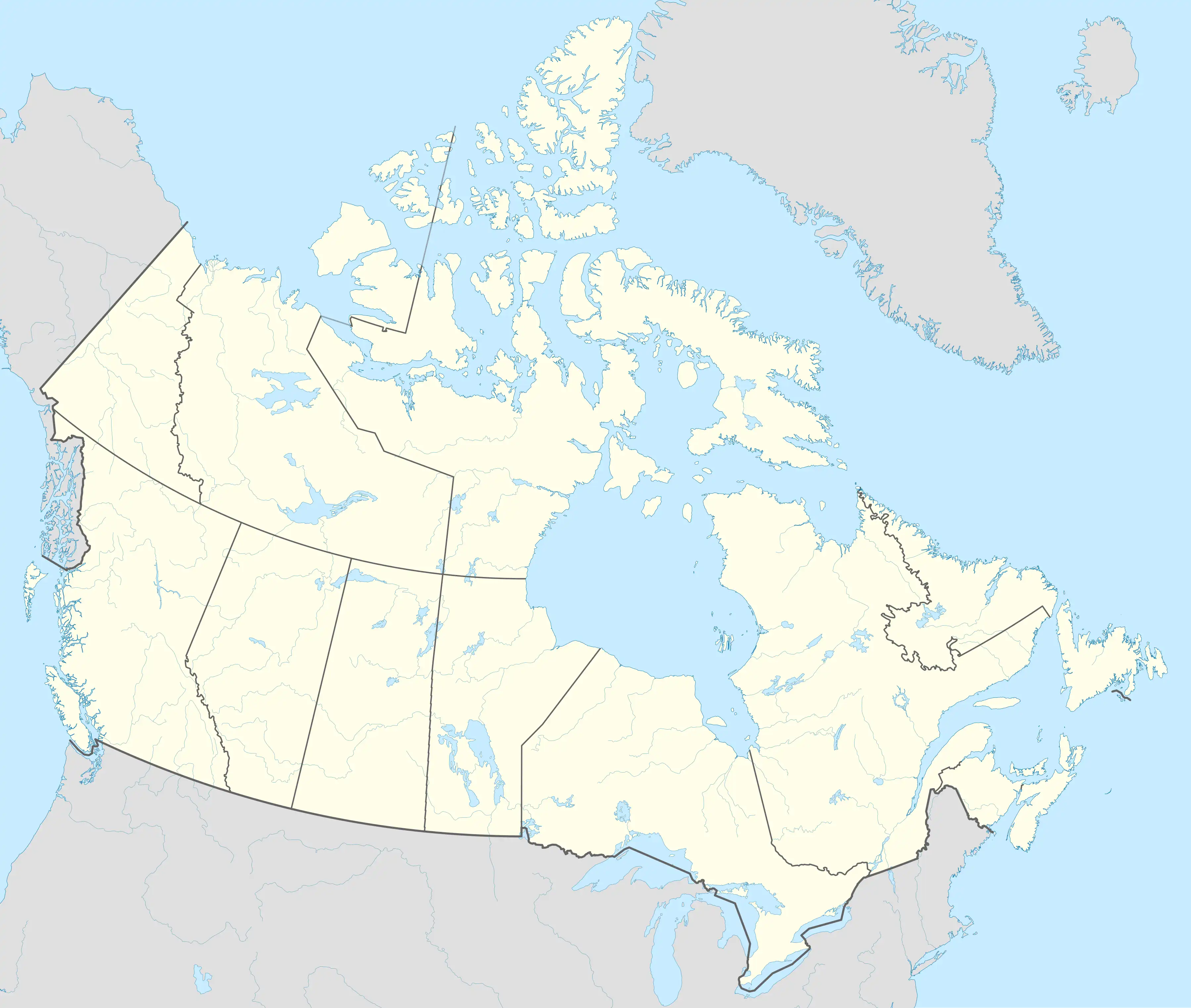 Aulattivik | |
| Geography | |
|---|---|
| Location | Eclipse Sound |
| Coordinates | 72°23′57″N 79°32′23″W / 72.39917°N 79.53972°W |
| Archipelago | Arctic Archipelago |
| Area | 34 km2 (13 sq mi) |
| Highest elevation | 700 m (2300 ft) |
| Administration | |
Canada | |
| Territory | Nunavut |
| Region | Qikiqtaaluk |
| Demographics | |
| Population | Uninhabited |
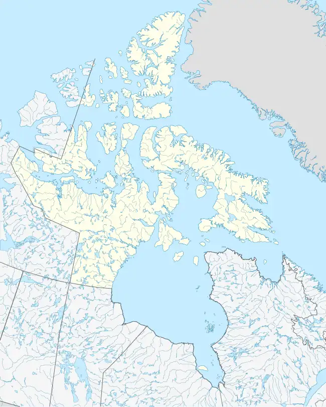
Aulattivik (Inuktitut syllabics: ᐊᐅᓚᑦᑎᕕᒃ[1]) formerly Curry Island[2] is an irregularly shaped, uninhabited island located in the Qikiqtaaluk Region of Nunavut, Canada. It is located at the mouth of White Bay, off Baffin Island. Eclipse Sound lies to its north.